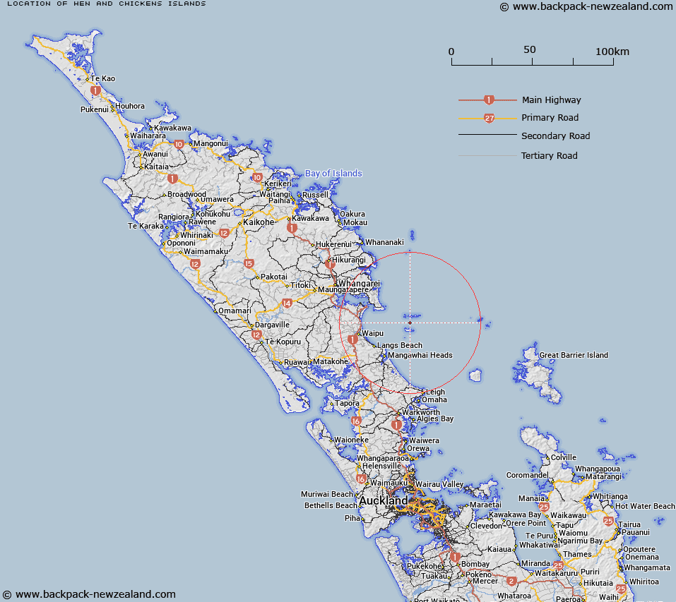
Map showing location of Hen and Chickens Islands


LINZ description: Name shown on: NZMS 303, sheet 2, 1992-2000; NZTopo50-AX31, 2009, 2015. Comprised of Marotere Islands and Taranga Island.
Latitude: -35.92377
Longitude: 174.727128
Northing: 6023128.3
Easting: 1755819
Land District: North Auckland
Feat Type: Island


Scroll down to see a more detailed road map and below that a topographical map showing the location of Hen and Chickens Islands. The road map has been supplied by openstreetmap and the topographical map of Hen and Chickens Islands has been supplied by Land Information New Zealand (LINZ).

Yes you can use the top static map for you school/university project or personal website with a link back. Contact me for any commercial use.

Hen and Chickens Islands Map New Zealand


New Zealand places in our database
[ A ] [ B ] [ C ] [ D ] [ E ] [ F ] [ G ] [ H ] [ I ] [ J ] [ K ] [ L ] [ M ] [ N ] [ O ] [ P ] [ Q ] [ R ] [ S ] [ T ] [ U ] [ V ] [ W ] [ X ] [ Y ] [ Z ]


Closest 20 Islands to Hen and Chickens Islands

Lady Alice Island ( 3.68km )   Marotiri Islands ( 3.7km )   Marotere Islands ( 3.7km )   Araara Island ( 3.78km )   Taranga Island ( 3.88km )   West Chicken Island ( 4.34km )   Mauitaha Island ( 4.34km )   Whatupuke Island ( 4.67km )   Pupuha Island ( 4.74km )   Muriwhenua Island ( 5.17km )   Wareware Island ( 5.39km )   Coppermine Island ( 5.66km )   Sail Rock ( 9.13km )   Guano Island ( 15.15km )   Mauitaha Island ( 15.43km )   Bream Islands ( 15.77km )   Moturaka Island ( 16.27km )   Tarakanahi Island ( 16.29km )   Frenchman Island ( 19.27km )   Calliope Island ( 20.18km )   High Island ( 21.6km )   Awarua Rock ( 21.77km )   Motukaroro Island ( 23.13km )   Moturewa Island ( 26.43km )   Arakaninihi Island ( 26.94km )   Glucina Rock ( 27.44km )   Otarawa island ( 27.69km )   Ipurau Island ( 27.74km )   Motungangara Island ( 27.76km )   Reparapahoe Island ( 27.94km )   Pataua Island ( 28.68km )   Motukiore Island ( 29.15km )   Groper Island (Tatapihi) ( 29.73km )   Mokohinau Islands ( 32.82km )   Atihau Island ( 33.46km )   Flax Islands ( 33.64km )   Motupapa Island ( 33.97km )   Hokoromea Island ( 34.03km )   Bird Rock ( 34.47km )   Burgess Island (Pokohinu) ( 34.86km )