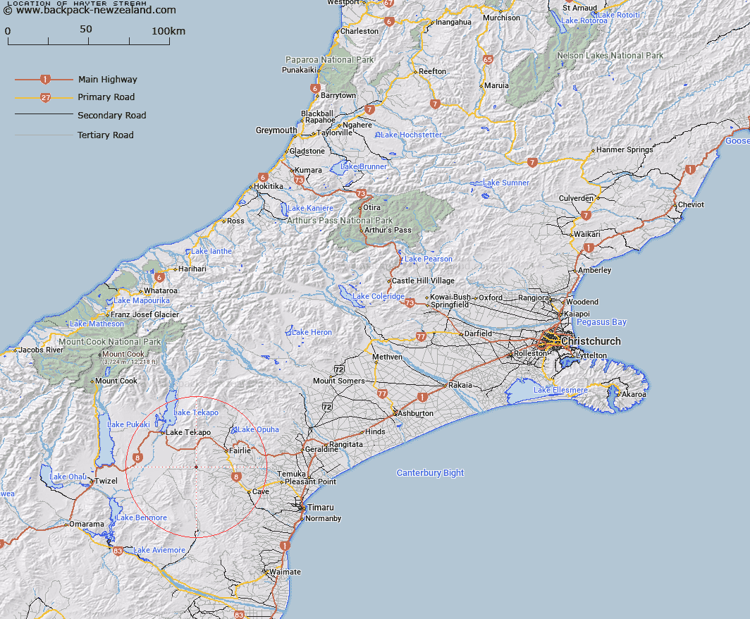
Map showing location of Hayter Stream


LINZ description: Right bank tributary of Tengawai River flowing eastward from the Mackenzie Pass, and joining Tengawai River 2.25km East of mount Dalgety Homestead. Approximately 12 miles south-west of Fairlie. Blocks XV and XVI Burke, and Block Tengawai Survey Districts.
Latitude: -44.18276
Longitude: 170.66811
Northing: 5105183.9
Easting: 1413616.1
Land District: Canterbury
Feat Type: Stream


Scroll down to see a more detailed road map and below that a topographical map showing the location of Hayter Stream. The road map has been supplied by openstreetmap and the topographical map of Hayter Stream has been supplied by Land Information New Zealand (LINZ).

Yes you can use the top static map for you school/university project or personal website with a link back. Contact me for any commercial use.

Hayter Stream Map New Zealand


New Zealand places in our database
[ A ] [ B ] [ C ] [ D ] [ E ] [ F ] [ G ] [ H ] [ I ] [ J ] [ K ] [ L ] [ M ] [ N ] [ O ] [ P ] [ Q ] [ R ] [ S ] [ T ] [ U ] [ V ] [ W ] [ X ] [ Y ] [ Z ]


Closest 20 Streams to Hayter Stream

Hayter Stream ( 0km )   Avalanche Stream ( 2.39km )   Trap Stream ( 3.29km )   Lockharts Stream ( 4.71km )   Duck Stream ( 5.01km )   Tramway Stream ( 5.81km )   Exe Stream ( 6.03km )   Coal Stream ( 6.83km )   Little Opawa River ( 7km )   Kennaway Stream ( 8.39km )   Delamain Stream ( 9.32km )   Halls Stream ( 9.91km )   Fett Stream ( 10.52km )   Hakataramea River ( 10.65km )   Blainslie Stream ( 10.95km )   Mackenzie River ( 11.19km )   Paddys Market Stream ( 11.34km )   Greens Creek ( 11.34km )   Paddy Market Stream ( 11.34km )   Chamberlain Stream ( 11.57km )   Wellshot Stream ( 11.99km )   Hawkey Stream ( 12.46km )   Hankey Stream ( 12.46km )   Bullock Creek ( 13.35km )   Snow River ( 14.1km )   Strathconan Creek ( 14.77km )   Ross Stream ( 14.93km )   Opawa River ( 15.15km )   Sawdon Stream ( 15.87km )   Marsack Stream ( 16.41km )   Massack Stream ( 16.41km )   Emerald Stream ( 16.43km )   Mackintosh Stream ( 16.76km )   Blue Duck Stream ( 16.79km )   Dalgety Stream ( 16.88km )   Dead Mans Creek ( 17.22km )   Cowan Stream ( 17.54km )   Rocky Gully River ( 17.61km )   Cloudy Peaks Stream ( 18.01km )   Luscombe Stream ( 18.44km )