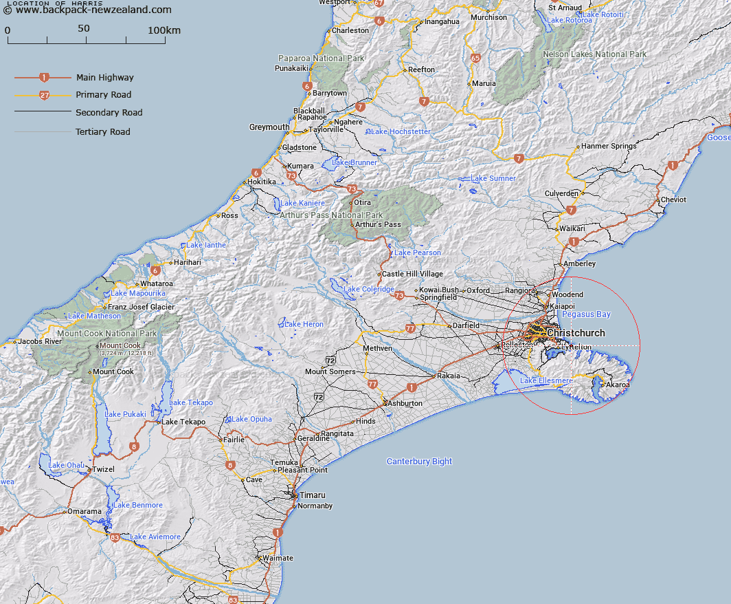
Map showing location of Harris
LINZ description: Geodetic code 1094 NZ Topo50 CB18 GR239 267 north of Awamoko Stream and south of the Waitaki River 5km east of Kokoamo.
Latitude: -43.592179
Longitude: 172.790638
Northing: 5173400
Easting: 1583100
Land District: Canterbury
Feat Type: Trig Station
Latitude: -43.592179
Longitude: 172.790638
Northing: 5173400
Easting: 1583100
Land District: Canterbury
Feat Type: Trig Station

Scroll down to see a more detailed road map and below that a topographical map showing the location of Harris. The road map has been supplied by openstreetmap and the topographical map of Harris has been supplied by Land Information New Zealand (LINZ).
Yes you can use the top static map for you school/university project or personal website with a link back. Contact me for any commercial use.
[ A ] [ B ] [ C ] [ D ] [ E ] [ F ] [ G ] [ H ] [ I ] [ J ] [ K ] [ L ] [ M ] [ N ] [ O ] [ P ] [ Q ] [ R ] [ S ] [ T ] [ U ] [ V ] [ W ] [ X ] [ Y ] [ Z ]