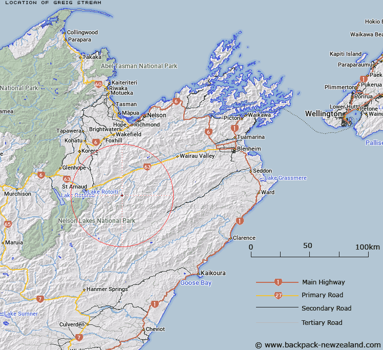
Map showing location of Greig Stream


LINZ description: Right bank tributary of Branch River, rising 500m North-east of Mount Morris, flowing North-westward and joining Branch River 4km upstream of Silverstream. Block IX, Leatham Survey District.
Latitude: -41.843536
Longitude: 173.112805
Northing: 5367589.4
Easting: 1609365.1
Land District: Marlborough
Feat Type: Stream


Scroll down to see a more detailed road map and below that a topographical map showing the location of Greig Stream. The road map has been supplied by openstreetmap and the topographical map of Greig Stream has been supplied by Land Information New Zealand (LINZ).

Yes you can use the top static map for you school/university project or personal website with a link back. Contact me for any commercial use.

Greig Stream Map New Zealand


New Zealand places in our database
[ A ] [ B ] [ C ] [ D ] [ E ] [ F ] [ G ] [ H ] [ I ] [ J ] [ K ] [ L ] [ M ] [ N ] [ O ] [ P ] [ Q ] [ R ] [ S ] [ T ] [ U ] [ V ] [ W ] [ X ] [ Y ] [ Z ]


Closest 20 Streams to Greig Stream

Henry Stream ( 1.67km )   Branch River ( 1.73km )   Scott Stream ( 2.45km )   Hand Setting Stream ( 3.32km )   Silverstream ( 4.1km )   Little Siberia Stream ( 4.39km )   Weka Stream ( 4.51km )   Alan Stream ( 4.96km )   Siberia Stream ( 5.24km )   Leatham River ( 5.83km )   Spaniard Stream ( 5.98km )   Barber Stream ( 6.05km )   Bobs Stream ( 6.26km )   Little Cave Stream ( 6.96km )   Lost Stream ( 7.16km )   May Stream ( 7.74km )   Hut Stream ( 7.87km )   Nesbits Creek ( 8.54km )   Cave Stream ( 9km )   Goosey Stream ( 9.9km )   Gordon Stream ( 9.96km )   Misery Stream ( 10.57km )   Flat Stream ( 10.74km )   Whip Stream ( 10.87km )   Waihopai Saddle Stream ( 11km )   Cow Stream ( 11.03km )   Cat Stream ( 11.6km )   Possum Stream ( 11.66km )   Little Misery Stream ( 11.8km )   Boulder Stream ( 11.82km )   Wildsheep Stream ( 12.03km )   Netting Stream ( 12.28km )   Krushen Stream ( 12.37km )   Sandfly Stream ( 12.42km )   Hot Rock Stream ( 12.42km )   Bush Camp Stream ( 12.61km )   Wash Stream ( 12.73km )   Bull Paddock Stream ( 12.87km )   Dover Stream ( 12.87km )   Station Creek ( 12.89km )