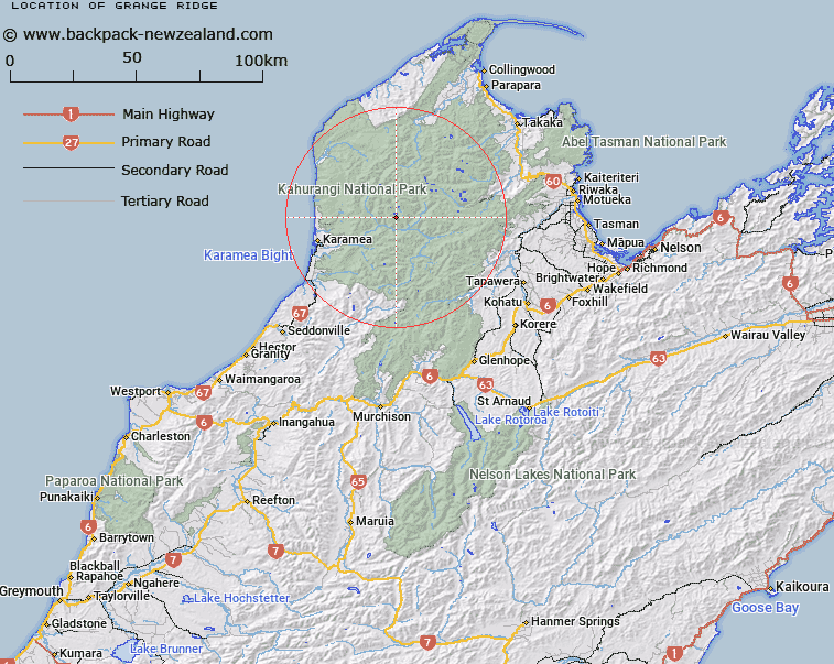
Map showing location of Grange Ridge


LINZ description: Ridge running eastward, then southward from spot height 1561m in the Morgan Range, 2.4km West North-west of False Peak to the Karamea River, being the divide between Beautiful River and False Creek. Leslie Survey District.
Latitude: -41.166606
Longitude: 172.378477
Northing: 5442561.6
Easting: 1547860.7
Land District: Nelson
Feat Type: Ridge


Scroll down to see a more detailed road map and below that a topographical map showing the location of Grange Ridge. The road map has been supplied by openstreetmap and the topographical map of Grange Ridge has been supplied by Land Information New Zealand (LINZ).

Yes you can use the top static map for you school/university project or personal website with a link back. Contact me for any commercial use.

Grange Ridge Map New Zealand


New Zealand places in our database
[ A ] [ B ] [ C ] [ D ] [ E ] [ F ] [ G ] [ H ] [ I ] [ J ] [ K ] [ L ] [ M ] [ N ] [ O ] [ P ] [ Q ] [ R ] [ S ] [ T ] [ U ] [ V ] [ W ] [ X ] [ Y ] [ Z ]


Closest 20 Ridges to Grange Ridge

False Peak ( 2.97km )   Garibaldi Ridge ( 7.75km )   Grindley Ridge ( 8.74km )   K?k?p? Spur ( 10.74km )   Kimbell Spur ( 12.02km )   Mount Stormy Range ( 18.6km )   Stormy Ridge ( 18.6km )   Kendall Ridge ( 19.9km )   Starvation Ridge ( 22.36km )   Luna Ridge ( 23.46km )   Cowin Spur ( 24.93km )   Paddy Ridge ( 26.11km )   Kiwi Ridge ( 26.29km )   Bellbird Ridge ( 27.45km )   Pearse Ridge ( 28.75km )   Colosseum Ridge ( 32.6km )   Jones Ridge ( 35.08km )   Johnson Ridge ( 35.37km )   Mount Gorgeous Range ( 35.37km )   Hardy Ridge ( 36.36km )   Webb Ridge ( 36.91km )   Brown Cow Ridge ( 37.42km )   Saxon Ridge ( 37.6km )   Harris Ridge ( 39.52km )   The Castles ( 40.63km )   Kill Devil Spur ( 41.92km )   Queen Ridge ( 42.84km )   Walker Ridge ( 42.87km )   Bald Knob Ridge ( 45.71km )   Parapara Ridge ( 47.1km )   Evans Ridge ( 54.81km )   Radcliffe Ridge ( 60.27km )   Blue Cliffs Ridge ( 60.84km )   Newton Ridge ( 62.13km )   Rome Ridge ( 63.57km )   Gibbs Spur ( 71.86km )   Porter Ridge ( 76.29km )   Organs Spur ( 77.29km )   Deepdale Ridge ( 77.76km )   Sim Spur ( 78.36km )