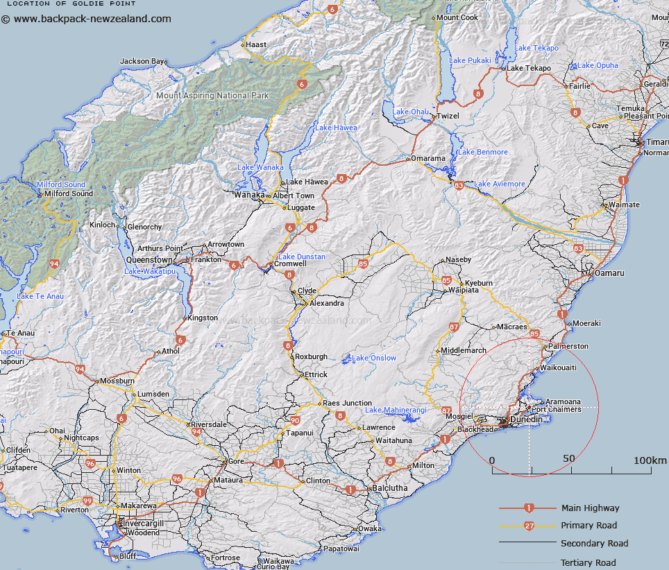
Map showing location of Goldie Point


LINZ description: A coastal point on the western side of Otago Harbour situated between Careys Bay and Rocky Point. Block I Lower Harbour West Survey District.
Latitude: -45.805774
Longitude: 170.625526
Northing: 4924790.2
Easting: 1415498.1
Land District: Otago
Feat Type: Point


Scroll down to see a more detailed road map and below that a topographical map showing the location of Goldie Point. The road map has been supplied by openstreetmap and the topographical map of Goldie Point has been supplied by Land Information New Zealand (LINZ).

Yes you can use the top static map for you school/university project or personal website with a link back. Contact me for any commercial use.

Goldie Point Map New Zealand


New Zealand places in our database
[ A ] [ B ] [ C ] [ D ] [ E ] [ F ] [ G ] [ H ] [ I ] [ J ] [ K ] [ L ] [ M ] [ N ] [ O ] [ P ] [ Q ] [ R ] [ S ] [ T ] [ U ] [ V ] [ W ] [ X ] [ Y ] [ Z ]


Closest 20 Points to Goldie Point

Rocky Point ( 0.26km )   Acheron Point ( 1.77km )   Quarantine Point ( 2.47km )   Pulling Point ( 2.66km )   Kilgours Point ( 3.35km )   Tayler Point ( 3.81km )   Taylor Point ( 3.81km )   Yellow Head ( 4.32km )   Curles Point ( 4.49km )   Otafelo Point ( 4.5km )   Grassy Point ( 4.81km )   Pilot Point ( 5.9km )   Purehurehu Point ( 6.63km )   Heyward Point ( 7.49km )   Potato Point ( 7.49km )   Harrington Point ( 7.99km )   Harington Point ( 7.99km )   Doctors Point ( 8.22km )   Taiaroa Head ( 8.78km )   O te Ukuuku Tuku ( 9.14km )   Te Pari o Te Mataahua ( 9.18km )   Te Whakarekaiwi ( 9.44km )   Rerewahine Point ( 9.65km )   Pipikaretu Point ( 9.69km )   Black Jacks Point ( 9.84km )   Titikoraki ( 10.51km )   Seal Point ( 10.77km )   Ohinepuha ( 11.06km )   Harakeke Point ( 11.22km )   Burns Point ( 11.44km )   Matakitaki Point ( 11.67km )   Cape Saunders ( 11.91km )   Otewhata ( 11.93km )   Maori Head ( 12.34km )   Lawyers Head ( 13.58km )   Brinns Point ( 15.15km )   Green Point ( 15.68km )   Black Head ( 20.5km )   Cornish Head ( 21.52km )   Bobbys Head ( 32.55km )