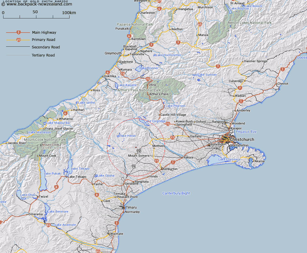
Map showing location of Gold Smith Rapids
LINZ description: Rapids south of Sharplin Falls on Bowyers Stream.
Latitude: -43.622729
Longitude: 171.410218
Northing: 5168800.5
Easting: 1471735
Land District: Canterbury
Feat Type: Rapid
Latitude: -43.622729
Longitude: 171.410218
Northing: 5168800.5
Easting: 1471735
Land District: Canterbury
Feat Type: Rapid

Scroll down to see a more detailed road map and below that a topographical map showing the location of Gold Smith Rapids. The road map has been supplied by openstreetmap and the topographical map of Gold Smith Rapids has been supplied by Land Information New Zealand (LINZ).
Yes you can use the top static map for you school/university project or personal website with a link back. Contact me for any commercial use.
[ A ] [ B ] [ C ] [ D ] [ E ] [ F ] [ G ] [ H ] [ I ] [ J ] [ K ] [ L ] [ M ] [ N ] [ O ] [ P ] [ Q ] [ R ] [ S ] [ T ] [ U ] [ V ] [ W ] [ X ] [ Y ] [ Z ]