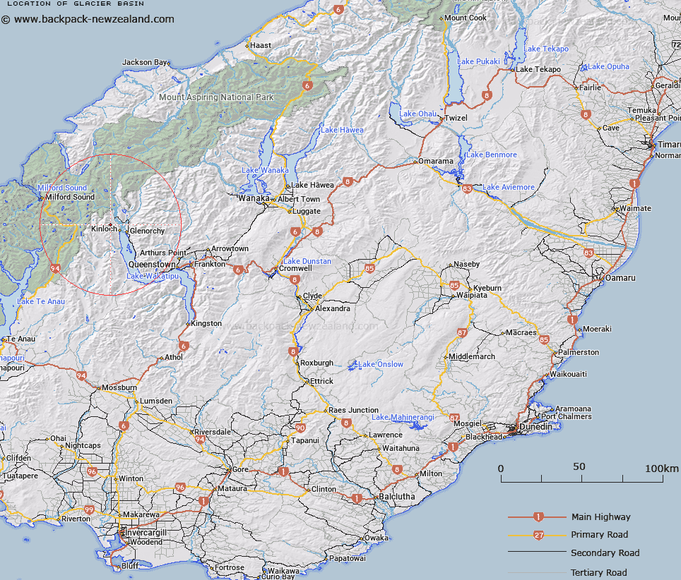
Map showing location of Glacier Basin


LINZ description: Feature shown on: NZMS260 E41 Edition 1994 Limited Revision 1996
Latitude: -44.81358
Longitude: 168.297686
Northing: 5026992.3
Easting: 1228182.9
Land District: Otago
Feat Type: Basin


Scroll down to see a more detailed road map and below that a topographical map showing the location of Glacier Basin. The road map has been supplied by openstreetmap and the topographical map of Glacier Basin has been supplied by Land Information New Zealand (LINZ).

Yes you can use the top static map for you school/university project or personal website with a link back. Contact me for any commercial use.
Glacier Basin Map New Zealand


New Zealand places in our database
[ A ] [ B ] [ C ] [ D ] [ E ] [ F ] [ G ] [ H ] [ I ] [ J ] [ K ] [ L ] [ M ] [ N ] [ O ] [ P ] [ Q ] [ R ] [ S ] [ T ] [ U ] [ V ] [ W ] [ X ] [ Y ] [ Z ]


Closest 20 Basins to Glacier Basin

Glacier Basin ( 0km )   Sleepy Hollow ( 3.91km )   Scott Basin ( 5.72km )   Pulpit Basin ( 13.22km )   Luna Basin ( 18.82km )   Boulder Basin ( 21.94km )   Kea Basin ( 24.45km )   Dead Horse Basin ( 24.65km )   Te Motu tu o te ruru ( 25.39km )   Aurum Basin ( 26.84km )   Deepwater Basin ( 33.23km )   Freshwater Basin ( 33.56km )   Makere Basin ( 38.69km )   Stirling Basin ( 38.69km )   Dale Basin ( 42.88km )   Entrance Basin ( 47.04km )   St Anne Basin ( 52.47km )   MacPherson Cirque ( 52.78km )   Slate Basin ( 55.96km )   Turn Round Basin ( 60.32km )   Amazon Basin ( 62.04km )   Escape Basin ( 62.04km )   Black Basin ( 62.37km )   Bounty Basin ( 63.15km )   Whitewater Basin ( 72.55km )   South-West Basin ( 72.57km )   George Basin ( 72.8km )   Elder Basin ( 73.76km )   Sonora Basin ( 84.92km )   Stillwater Basin ( 86.04km )   Walker Basin ( 87.47km )   Looking Glass Basin ( 88.49km )   Marble Basin ( 91.07km )   Gillespie Basin ( 95.14km )   Young Basin ( 96.21km )   Bligh Basin ( 96.27km )   Heel Basin ( 102.12km )   Richards Basin ( 102.66km )   Stokes Basin ( 103.18km )   Precipice Basin ( 103.43km )