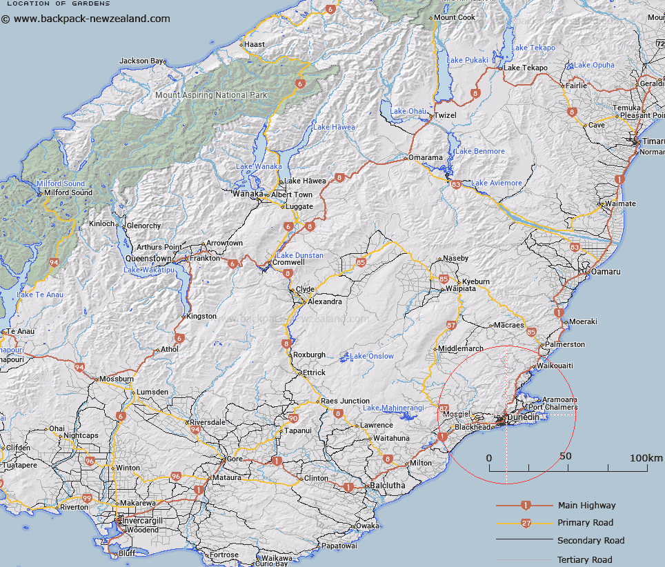
Map showing location of Gardens


LINZ description: Small locality near the Dunedin Botanical Gardens and the Water of Leith.
Latitude: -45.854912
Longitude: 170.519468
Northing: 4919080.4
Easting: 1407426.9
Land District: Otago
Feat Type: Locality


Scroll down to see a more detailed road map and below that a topographical map showing the location of Gardens. The road map has been supplied by openstreetmap and the topographical map of Gardens has been supplied by Land Information New Zealand (LINZ).

Yes you can use the top static map for you school/university project or personal website with a link back. Contact me for any commercial use.

Gardens Map New Zealand


New Zealand places in our database
[ A ] [ B ] [ C ] [ D ] [ E ] [ F ] [ G ] [ H ] [ I ] [ J ] [ K ] [ L ] [ M ] [ N ] [ O ] [ P ] [ Q ] [ R ] [ S ] [ T ] [ U ] [ V ] [ W ] [ X ] [ Y ] [ Z ]


Closest 20 Localitys to Gardens

Leith Valley ( 2.32km )   Glenleith ( 2.44km )   The Exchange ( 2.95km )   The Cove ( 3.87km )   Glenross ( 3.91km )   Burkes ( 4.03km )   Upper Junction ( 4.31km )   Cargills Corner ( 4.59km )   The Glen ( 4.68km )   Highcliff ( 5.33km )   Forbury Corner ( 5.58km )   Macandrew Bay ( 6.21km )   Macandrew's Bay ( 6.21km )   Company Bay ( 6.26km )   Roseneath ( 7.02km )   Pigeon Flat ( 7.22km )   Mount Cargill ( 7.35km )   Broad Bay ( 7.9km )   Whare Flat ( 8.13km )   Pukehiki ( 8.3km )   Blackhead ( 9.49km )   Careys Bay ( 9.53km )   Upper Waitati ( 9.61km )   Sandymount ( 9.62km )   Deborah Bay ( 10.46km )   Wingatui ( 10.71km )   Fairfield ( 11.3km )   Janefield ( 11.36km )   Mihiwaka ( 11.41km )   Waldronville ( 11.67km )   Hoopers Inlet ( 11.87km )   Orokonui ( 11.99km )   Chain Hills ( 12.19km )   Lower Portobello ( 12.2km )   Gills Corner ( 12.22km )   Waitati ( 12.42km )   Saddle Hill ( 12.6km )   Harwood ( 12.73km )   Osborne ( 12.99km )   Kinmont Park ( 13.5km )