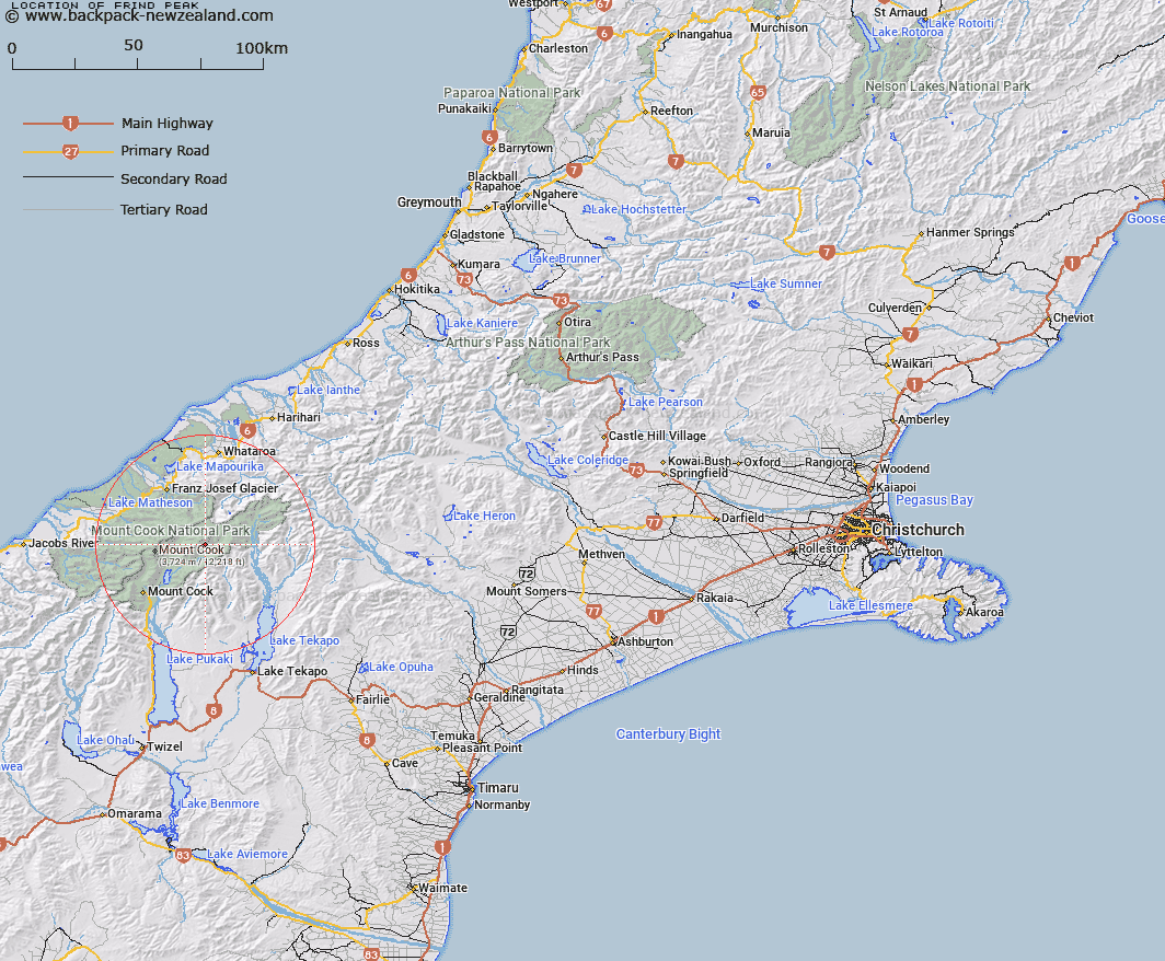
Map showing location of Frind Peak


LINZ description: Peak on a spur from Malte Brun lying between Cascade and Baker Glaciers above the Murchison Glacier.
Latitude: -43.572246
Longitude: 170.319247
Northing: 5172143.2
Easting: 1383530.9
Land District: Canterbury
Feat Type: Hill


Scroll down to see a more detailed road map and below that a topographical map showing the location of Frind Peak. The road map has been supplied by openstreetmap and the topographical map of Frind Peak has been supplied by Land Information New Zealand (LINZ).

Yes you can use the top static map for you school/university project or personal website with a link back. Contact me for any commercial use.

Frind Peak Map New Zealand


New Zealand places in our database
[ A ] [ B ] [ C ] [ D ] [ E ] [ F ] [ G ] [ H ] [ I ] [ J ] [ K ] [ L ] [ M ] [ N ] [ O ] [ P ] [ Q ] [ R ] [ S ] [ T ] [ U ] [ V ] [ W ] [ X ] [ Y ] [ Z ]


Closest 20 Hills to Frind Peak

Malte Brun ( 1.6km )   Mount Hamilton ( 2.13km )   Aiguilles Rouges ( 2.29km )   Rumdoodle ( 2.45km )   Mount Nathan ( 3.06km )   Mount Turnbull ( 3.61km )   Mount Chudleigh ( 3.68km )   Rose Peak ( 4.05km )   Haeckel Peak ( 4.16km )   Mount Darwin ( 5.29km )   Mount Annan ( 5.55km )   Mount Johnson ( 5.78km )   Mount Abel ( 6.59km )   Malcher Peak ( 6.81km )   Mount Hutton ( 6.82km )   Mount Olaf ( 6.82km )   Mount Ronald Adair ( 6.91km )   Mount Kenneth ( 7.01km )   Mount Tamaki ( 7.08km )   Mount Cooper ( 7.74km )   Mount Gold Smith ( 7.82km )   Mount Goldsmith ( 7.82km )   Vic Mountain ( 7.92km )   De La Beche ( 7.96km )   Mount Aylmer ( 7.99km )   Mount Meeson ( 8km )   Coronet ( 8.03km )   Minarets ( 8.08km )   Mount Conrad ( 8.14km )   Novara Peak ( 8.21km )   Hochstetter Dom ( 8.27km )   Hochstetter Dome ( 8.27km )   The Twins ( 8.38km )   Moonlight Peak ( 8.6km )   Mount Green ( 8.61km )   Mount Lucia ( 8.63km )   Mount Rudolf ( 8.69km )   Aigrette ( 8.74km )   Graceful Peak ( 8.79km )   Emas Dome ( 8.83km )