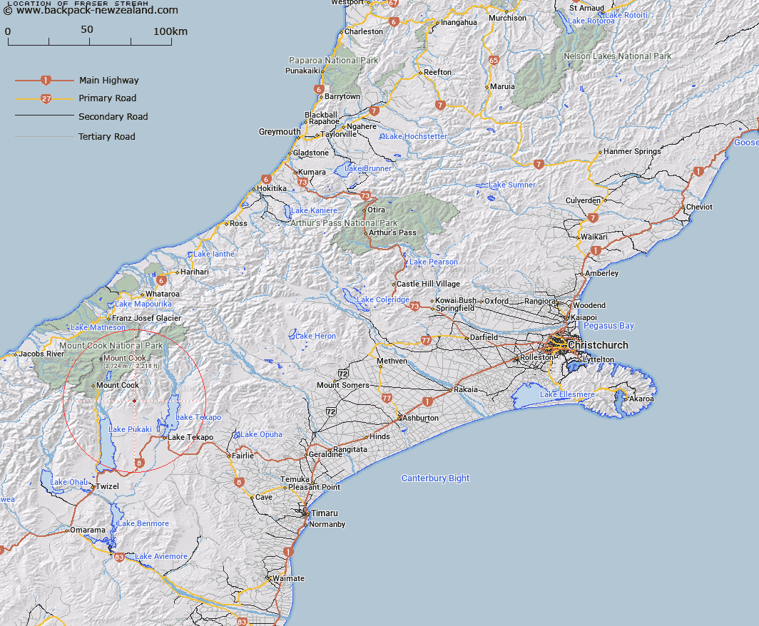
Map showing location of Fraser Stream


LINZ description: Right bank tributary of Fork Stream, rising in the Gamack Range 7km North of Mount Stevenson, Flowing generally South-eastward, and joining Fork Stream 4.5km East North-east of Mount Stevenson. Block XVIII Cass Survey District.
Latitude: -43.812969
Longitude: 170.322449
Northing: 5145415
Easting: 1384653.1
Land District: Canterbury
Feat Type: Stream


Scroll down to see a more detailed road map and below that a topographical map showing the location of Fraser Stream. The road map has been supplied by openstreetmap and the topographical map of Fraser Stream has been supplied by Land Information New Zealand (LINZ).

Yes you can use the top static map for you school/university project or personal website with a link back. Contact me for any commercial use.

Fraser Stream Map New Zealand


New Zealand places in our database
[ A ] [ B ] [ C ] [ D ] [ E ] [ F ] [ G ] [ H ] [ I ] [ J ] [ K ] [ L ] [ M ] [ N ] [ O ] [ P ] [ Q ] [ R ] [ S ] [ T ] [ U ] [ V ] [ W ] [ X ] [ Y ] [ Z ]


Closest 20 Streams to Fraser Stream

Fork Stream ( 5.94km )   First Waterfall Stream ( 6.82km )   Second Creek ( 6.94km )   Jollie River ( 7.58km )   Second Waterfall Stream ( 7.58km )   First Creek ( 8.44km )   Bird Stream ( 8.45km )   Redstone Stream ( 8.63km )   Arthurs Creek ( 9.07km )   Tin Hut Stream ( 9.64km )   Joseph Stream ( 10.67km )   Irishman Creek ( 10.73km )   Littles Stream ( 10.84km )   McLeod Creek ( 11.64km )   Joes Creek ( 11.93km )   Micks Creek ( 12.32km )   Waits Creek ( 12.42km )   Andrews Creek ( 12.46km )   Parsons Creek ( 12.56km )   Chop Creek ( 12.76km )   Gorilla Stream ( 12.8km )   Bullrock Stream ( 13.11km )   Lily Stream ( 13.13km )   Coxs Creek ( 13.63km )   Pinnacle Stream ( 13.87km )   Oatmeal Creek ( 14.07km )   Mistake River ( 14.17km )   Landslip Creek ( 14.38km )   Sutherland Creek ( 14.55km )   Mary Burn ( 14.75km )   Irish Creek ( 14.81km )   Tasman River ( 14.97km )   Silver Stream ( 15.15km )   Little Hoggett Stream ( 16.2km )   Cass River ( 16.54km )   Ribbonwood Creek ( 16.94km )   Ailsa Stream ( 17.28km )   Pikes Peak Stream ( 17.65km )   Pollock Stream ( 17.9km )   Blue Stream ( 18.28km )