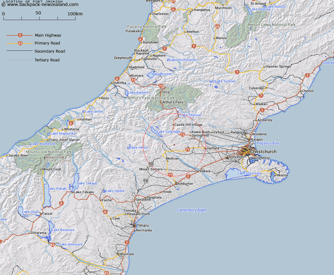
Map showing location of Fort Jackson


LINZ description: A rock outcrop near junction of Jackson Stream and Selwyn River, 600m North of high Peak Homestead. Block III Fighting Hill Survey District.
Latitude: -43.443115
Longitude: 171.732145
Northing: 5189195.5
Easting: 1497404.4
Land District: Canterbury
Feat Type: Rock


Scroll down to see a more detailed road map and below that a topographical map showing the location of Fort Jackson. The road map has been supplied by openstreetmap and the topographical map of Fort Jackson has been supplied by Land Information New Zealand (LINZ).

Yes you can use the top static map for you school/university project or personal website with a link back. Contact me for any commercial use.

Fort Jackson Map New Zealand


New Zealand places in our database
[ A ] [ B ] [ C ] [ D ] [ E ] [ F ] [ G ] [ H ] [ I ] [ J ] [ K ] [ L ] [ M ] [ N ] [ O ] [ P ] [ Q ] [ R ] [ S ] [ T ] [ U ] [ V ] [ W ] [ X ] [ Y ] [ Z ]


Closest 20 Rocks to Fort Jackson

Parapet Rock ( 29.34km )   The Pinnacles ( 32.55km )   Brassington Rocks ( 38.19km )   The Spike ( 53.68km )   Grevilles Cone ( 64.78km )   Cascade Rock ( 65.04km )   Moses Rock ( 65.31km )   Black Rock ( 69.93km )   Gibraltar Rock ( 74.54km )   Castle Rock ( 79.55km )   Tihiokahukura/Castle Rock ( 79.55km )   Remarkable Dykes ( 81.67km )   Big Rock ( 83.17km )   Shag Rock ( 83.21km )   Cave Rock ( 84.05km )   Lions Head ( 86.75km )   The Temple ( 88.74km )   Robinson Slip ( 88.8km )   Boaz ( 95.35km )   Hells Gate ( 96.77km )   Pulpit Rock ( 99.47km )   Pinnacle Rock ( 106.62km )   Windy Point ( 108.93km )   Dashing Rocks ( 110.68km )   Teichelmann Rock ( 126.01km )   Wilson Rock ( 126.38km )   Motukiekie Rocks ( 129.91km )   Tomnahurich Rock ( 130.96km )   Sail Rock ( 131.87km )   John Browns Tomb ( 132.49km )   Rock Etam ( 133.09km )   Monkey Rock ( 135.19km )   Black Rocks ( 137.75km )   Red Slip ( 140.11km )   Scotts Slip ( 141.93km )   The Cathedrals ( 142.3km )   Pancake Rocks ( 151.15km )   The Sentinel ( 152.55km )   Gentle Annie Rocks ( 155.24km )   Ballroom Overhang ( 157.42km )