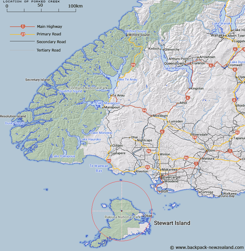
Map showing location of Forked Creek


LINZ description: A tributary joining Freshwater River 2km South-east of Lake Sheila, draining an area from North of Benson Peak, to west of Mason Head. Anglem Survey District.
Latitude: -46.836889
Longitude: 167.857056
Northing: 4800107.2
Easting: 1207850.1
Land District: Southland
Feat Type: Stream


Scroll down to see a more detailed road map and below that a topographical map showing the location of Forked Creek. The road map has been supplied by openstreetmap and the topographical map of Forked Creek has been supplied by Land Information New Zealand (LINZ).

Yes you can use the top static map for you school/university project or personal website with a link back. Contact me for any commercial use.

Forked Creek Map New Zealand


New Zealand places in our database
[ A ] [ B ] [ C ] [ D ] [ E ] [ F ] [ G ] [ H ] [ I ] [ J ] [ K ] [ L ] [ M ] [ N ] [ O ] [ P ] [ Q ] [ R ] [ S ] [ T ] [ U ] [ V ] [ W ] [ X ] [ Y ] [ Z ]


Closest 20 Streams to Forked Creek

Freshwater River ( 3.05km )   Scott Burn ( 3.86km )   Tolson River ( 9.09km )   Little River ( 9.09km )   Topeheti Creek ( 9.65km )   Murray River ( 10.42km )   Duck Creek ( 11.32km )   Duck Creek ( 11.33km )   Martins Creek ( 13.01km )   Smoky Creek ( 13.31km )   Double Creek ( 14.28km )   Yankee River ( 14.38km )   Ruggedy Stream ( 14.84km )   Ruggedy River ( 14.84km )   Wreck Creek ( 15.55km )   Ogles Creek ( 15.68km )   Rakeahua River ( 16.75km )   Cavalier Creek ( 17.15km )   Mill Creek ( 19.1km )   Ryans Creek ( 19.27km )   Little River ( 19.3km )   Waterfall Creek ( 19.3km )   Euchre Creek ( 19.31km )   Leask Creek ( 19.42km )   Gorge Creek ( 25.44km )   Doughboy Creek ( 26.43km )   Kirklands Creek ( 26.9km )   Blaikies Creek ( 26.98km )   Toitoi River ( 27.15km )   Heron River ( 29.38km )   Newton Creek ( 30.1km )   Kopeka River ( 30.54km )   Bullers Creek ( 30.63km )   Chew Tobacco Creek ( 31.08km )   Lords River/T?taekawetoweto ( 31.45km )   Lords River ( 31.45km )   Duck Creek ( 31.78km )   Saddle Creek ( 32.74km )   Arnetts Creek ( 32.79km )   Fifes Creek ( 32.98km )