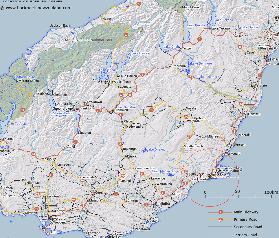
Map showing location of Forbury Corner
LINZ description: Locality at junction of Hillside Road, Forbury Road and David Street, in the Dunedin suburb of Caversham.
Latitude: -45.898977
Longitude: 170.484845
Northing: 4914100.6
Easting: 1404893.5
Land District: Otago
Feat Type: Locality
Latitude: -45.898977
Longitude: 170.484845
Northing: 4914100.6
Easting: 1404893.5
Land District: Otago
Feat Type: Locality

Scroll down to see a more detailed road map and below that a topographical map showing the location of Forbury Corner. The road map has been supplied by openstreetmap and the topographical map of Forbury Corner has been supplied by Land Information New Zealand (LINZ).
Yes you can use the top static map for you school/university project or personal website with a link back. Contact me for any commercial use.
[ A ] [ B ] [ C ] [ D ] [ E ] [ F ] [ G ] [ H ] [ I ] [ J ] [ K ] [ L ] [ M ] [ N ] [ O ] [ P ] [ Q ] [ R ] [ S ] [ T ] [ U ] [ V ] [ W ] [ X ] [ Y ] [ Z ]