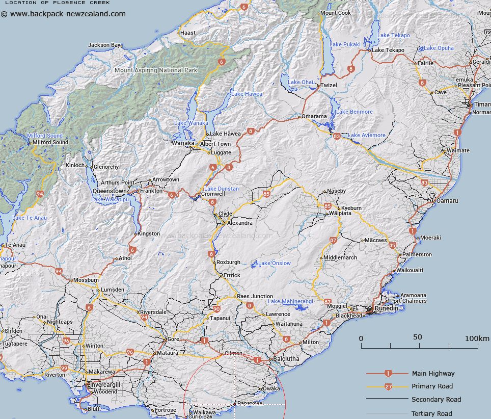
Map showing location of Florence Creek


LINZ description: Creek flowing from Florence hill to Tahakopa River mouth by Papatowai
Latitude: -46.565314
Longitude: 169.468286
Northing: 4837078
Easting: 1329338.8
Land District: Otago
Feat Type: Stream


Scroll down to see a more detailed road map and below that a topographical map showing the location of Florence Creek. The road map has been supplied by openstreetmap and the topographical map of Florence Creek has been supplied by Land Information New Zealand (LINZ).

Yes you can use the top static map for you school/university project or personal website with a link back. Contact me for any commercial use.

Florence Creek Map New Zealand


New Zealand places in our database
[ A ] [ B ] [ C ] [ D ] [ E ] [ F ] [ G ] [ H ] [ I ] [ J ] [ K ] [ L ] [ M ] [ N ] [ O ] [ P ] [ Q ] [ R ] [ S ] [ T ] [ U ] [ V ] [ W ] [ X ] [ Y ] [ Z ]


Closest 20 Streams to Florence Creek

Isas Creek ( 1.88km )   Sharks Creek ( 3.4km )   Mouats Saddle Creek ( 4.66km )   Pillans Stream ( 4.85km )   McCormack Creek ( 5.88km )   Matai Stream ( 6.21km )   Fleming River ( 6.35km )   Surveyors Creek ( 6.56km )   Beresford Creek ( 6.73km )   Purakauiti Stream ( 7km )   Waitangi Stream ( 7.35km )   Waiheke Stream ( 8.05km )   Rough Creek ( 8.06km )   Waikoata Stream ( 8.07km )   Maclennan River ( 8.55km )   Purakaunui River ( 9.15km )   Tautuku River ( 9.26km )   Purakaunui Stream ( 9.33km )   Saddle Creek ( 9.44km )   Aurora Creek ( 9.48km )   Rocky Creek ( 9.69km )   Hukihuki Creek ( 9.93km )   Waitere Stream ( 10.62km )   Cosgrove Creek ( 10.77km )   Duckaday Creek ( 11.04km )   McLaren Creek ( 11.4km )   Papatupu Stream ( 11.59km )   Blunder Stream ( 11.7km )   Diggers Creek ( 12.11km )   Coeus Stream ( 12.64km )   Hinahina Stream ( 12.92km )   Back Creek ( 12.98km )   Mackenzie Stream ( 13.06km )   Luna Creek ( 13.18km )   Shaw Stream ( 13.4km )   Chaseland River ( 13.61km )   Chasland River ( 13.61km )   Montrose Creek ( 14.08km )   Kathleen Creek ( 14.34km )   Frank Stream ( 14.41km )