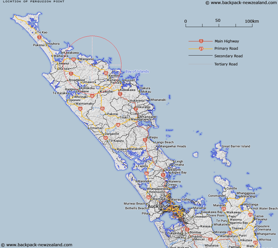
Map showing location of Fergusson Point


LINZ description: Coastal point within Whangaroa Harbour north of Taupuke Point.
Latitude: -35.060607
Longitude: 173.718319
Northing: 6120000
Easting: 1665500
Land District: North Auckland
Feat Type: Point


Scroll down to see a more detailed road map and below that a topographical map showing the location of Fergusson Point. The road map has been supplied by openstreetmap and the topographical map of Fergusson Point has been supplied by Land Information New Zealand (LINZ).

Yes you can use the top static map for you school/university project or personal website with a link back. Contact me for any commercial use.

Fergusson Point Map New Zealand


New Zealand places in our database
[ A ] [ B ] [ C ] [ D ] [ E ] [ F ] [ G ] [ H ] [ I ] [ J ] [ K ] [ L ] [ M ] [ N ] [ O ] [ P ] [ Q ] [ R ] [ S ] [ T ] [ U ] [ V ] [ W ] [ X ] [ Y ] [ Z ]


Closest 20 Points to Fergusson Point

Taupuke Point ( 1.05km )   Cape Horn ( 1.31km )   Kaheka Point ( 3.93km )   Oteko Point ( 4.63km )   Puketamoi Point ( 4.67km )   Waihi Point ( 4.98km )   Jones Point ( 5.34km )   Takahi Point (The Haystack) ( 5.86km )   Omaiki Point ( 5.86km )   Kingfish Point ( 6.41km )   North Head ( 6.97km )   South Head ( 7.21km )   False Head ( 7.6km )   Te Anina Point ( 9.25km )   Wherowhero Point ( 9.69km )   Pa Point ( 10.18km )   Matanohinohi Point ( 11.08km )   Karaui Point ( 11.89km )   Te Umukukupa Point ( 11.89km )   Otokia Point ( 12.32km )   Pakuru Point ( 15.2km )   Tutonu Point ( 16.25km )   Marawhiti Point ( 16.75km )   Opounui Point ( 17km )   Opakau Point ( 17.27km )   Otonga Point ( 17.83km )   White Point ( 18.31km )   Butler Point ( 18.46km )   Goldfinch Point ( 18.84km )   Tuanui Point ( 18.98km )   Oyster Point ( 19.02km )   Kauri Point ( 19.22km )   Okare Point ( 19.49km )   Cole Point ( 19.55km )   Rangitoto Point ( 19.58km )   Osprey Head ( 19.67km )   Rangikapiti Head ( 19.75km )   Motukukupa Point ( 20.35km )   Puketakahia Point ( 21.25km )   Arawhata Point ( 21.59km )