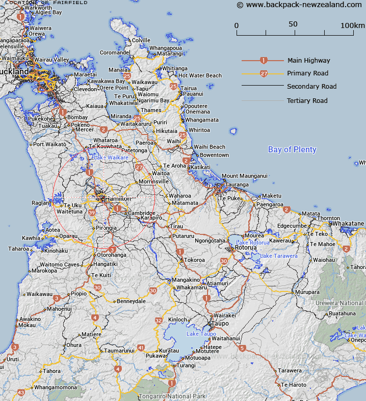
Map showing location of Fairfield


LINZ description: A suburb of Hamilton City. Feature shown on: NZTopo50-BD33 009174
Latitude: -37.76894
Longitude: 175.281456
Northing: 5817370
Easting: 1800946
Land District: South Auckland
Feat Type: Suburb


Scroll down to see a more detailed road map and below that a topographical map showing the location of Fairfield. The road map has been supplied by openstreetmap and the topographical map of Fairfield has been supplied by Land Information New Zealand (LINZ).

Yes you can use the top static map for you school/university project or personal website with a link back. Contact me for any commercial use.

Fairfield Map New Zealand


New Zealand places in our database
[ A ] [ B ] [ C ] [ D ] [ E ] [ F ] [ G ] [ H ] [ I ] [ J ] [ K ] [ L ] [ M ] [ N ] [ O ] [ P ] [ Q ] [ R ] [ S ] [ T ] [ U ] [ V ] [ W ] [ X ] [ Y ] [ Z ]


Closest 20 Suburbs to Fairfield

Fairfield ( 0km )   Enderley ( 1.12km )   Claudelands ( 1.24km )   Hamilton North ( 1.33km )   Whitiora ( 1.36km )   Chartwell ( 1.52km )   Beerescourt ( 1.6km )   Hamilton Central ( 1.77km )   Chedworth ( 2.09km )   Fairview Downs ( 2.27km )   Maeroa ( 2.41km )   Queenwood ( 2.49km )   Forest Lake ( 2.59km )   Hamilton East ( 3.1km )   Livingstone ( 3.11km )   St Andrews ( 3.18km )   Frankton ( 3.46km )   Harrowfield ( 3.58km )   Rototuna ( 3.7km )   Hamilton Lake ( 3.75km )   Hamilton West ( 3.75km )   Huntington ( 3.8km )   Te Rapa ( 3.91km )   Hillcrest ( 3.93km )   Nawton ( 4.06km )   Avalon ( 4.33km )   Dinsdale ( 4.54km )   Bader ( 4.54km )   Pukete ( 4.74km )   Silverdale ( 4.79km )   Melville ( 4.84km )   Western Heights ( 4.98km )   Rototuna North ( 5.02km )   Flagstaff ( 5.1km )   Fitzroy ( 5.35km )   Grandview Heights ( 5.51km )   Riverlea ( 5.72km )   Glenview ( 5.78km )   Deanwell ( 5.86km )   Te Rapa Park ( 6.4km )