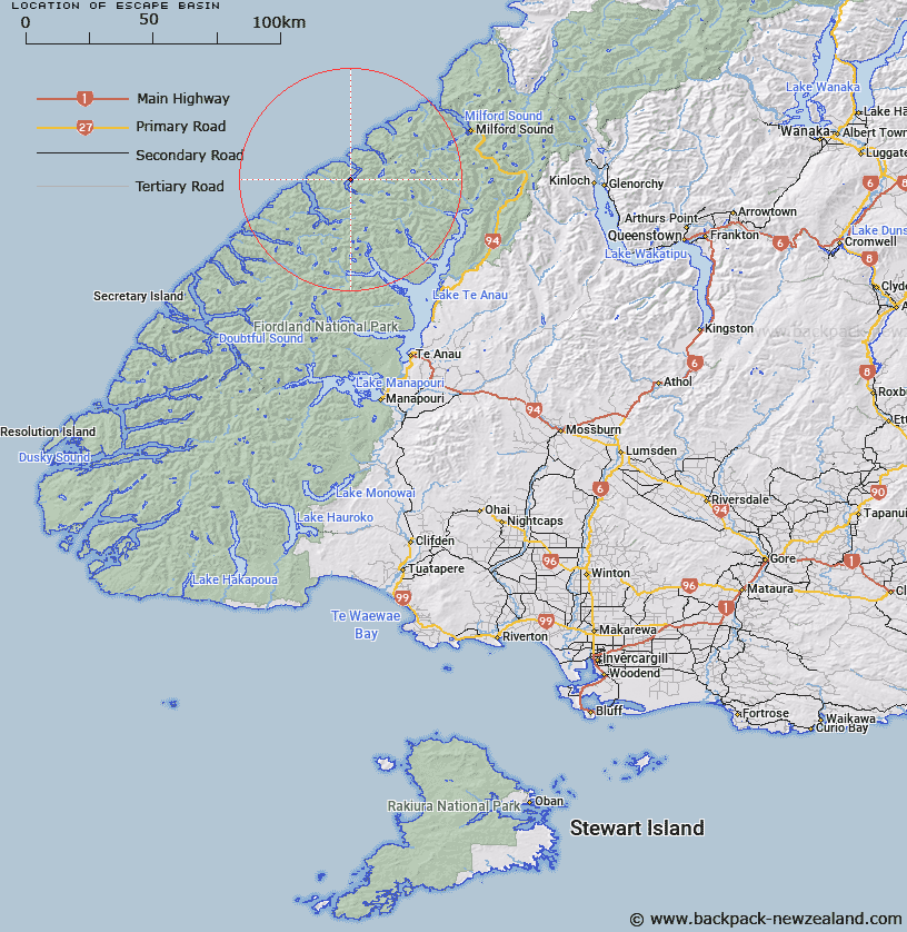
Map showing location of Escape Basin
LINZ description: "A basin named for nearby Amazon Cove in Bligh Sound.
Hall-Jones records that the associated geographic feature, Amazon Cove, was ‘probably named after Captain Howell’s vessel, the Amazon. In 1842, while skippering the Amazon for Howell, Paddy Gilroy came across some members of the ‘Lost Tribe’ in Bligh Sound.’"
Latitude: -44.833734
Longitude: 167.511574
Northing: 5020846.9
Easting: 1166174.8
Land District: Southland
Feat Type: Basin
Latitude: -44.833734
Longitude: 167.511574
Northing: 5020846.9
Easting: 1166174.8
Land District: Southland
Feat Type: Basin

Scroll down to see a more detailed road map and below that a topographical map showing the location of Escape Basin. The road map has been supplied by openstreetmap and the topographical map of Escape Basin has been supplied by Land Information New Zealand (LINZ).
Yes you can use the top static map for you school/university project or personal website with a link back. Contact me for any commercial use.
[ A ] [ B ] [ C ] [ D ] [ E ] [ F ] [ G ] [ H ] [ I ] [ J ] [ K ] [ L ] [ M ] [ N ] [ O ] [ P ] [ Q ] [ R ] [ S ] [ T ] [ U ] [ V ] [ W ] [ X ] [ Y ] [ Z ]