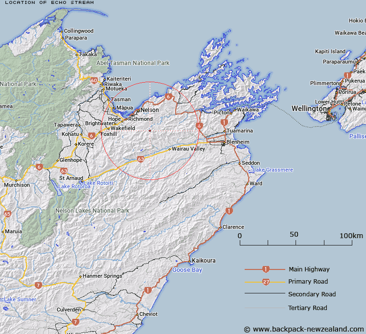
Map showing location of Echo Stream


LINZ description: Tributary of Richmond Stream which flows into Pelorus River, joining the Richmond Stream on the right bank, 500m upstream from it's junction with the Pelorus River. Pine Valley Survey District.
Latitude: -41.423527
Longitude: 173.377027
Northing: 5414157.2
Easting: 1631504.7
Land District: Marlborough
Feat Type: Stream


Scroll down to see a more detailed road map and below that a topographical map showing the location of Echo Stream. The road map has been supplied by openstreetmap and the topographical map of Echo Stream has been supplied by Land Information New Zealand (LINZ).

Yes you can use the top static map for you school/university project or personal website with a link back. Contact me for any commercial use.

Echo Stream Map New Zealand


New Zealand places in our database
[ A ] [ B ] [ C ] [ D ] [ E ] [ F ] [ G ] [ H ] [ I ] [ J ] [ K ] [ L ] [ M ] [ N ] [ O ] [ P ] [ Q ] [ R ] [ S ] [ T ] [ U ] [ V ] [ W ] [ X ] [ Y ] [ Z ]


Closest 20 Streams to Echo Stream

Richmond Stream ( 1.22km )   Roebuck Creek ( 4.34km )   Fishtail Stream ( 4.46km )   Rocks Creek ( 4.71km )   Middy Creek ( 5.49km )   Mates Creek ( 5.98km )   Bray Creek ( 7.05km )   M?hanga Creek ( 7.35km )   Collins Creek ( 7.7km )   Jackson Creek ( 7.92km )   Adams Creek ( 8.07km )   Mulligan Creek ( 8.4km )   United Creek ( 8.53km )   Captain Creek ( 9km )   Champion Creek ( 9.08km )   Coads Creek ( 9.28km )   Browning Stream ( 9.34km )   Mineral Stream ( 9.71km )   Weka Creek ( 9.97km )   Armchair Stream ( 10.23km )   Miner River ( 10.57km )   Hacket Creek ( 11.09km )   The Wrey ( 11.16km )   Jacksons Creek ( 11.33km )   Hilton Creek ( 11.39km )   Sclanders Creek ( 11.81km )   Top Valley Stream ( 11.83km )   Maitai River South Branch ( 11.91km )   Turners Creek ( 12.06km )   Beachamp Creek ( 12.08km )   Quartz Creek ( 12.08km )   Scott Creek ( 12.14km )   Davis Creek ( 12.18km )   Timms Creek ( 12.42km )   Stratford Creek ( 12.52km )   Boundary Creek ( 12.55km )   Laing Creek ( 12.67km )   Saddle Creek ( 12.69km )   Roding River ( 12.71km )   Blue Bell Creek ( 13.09km )