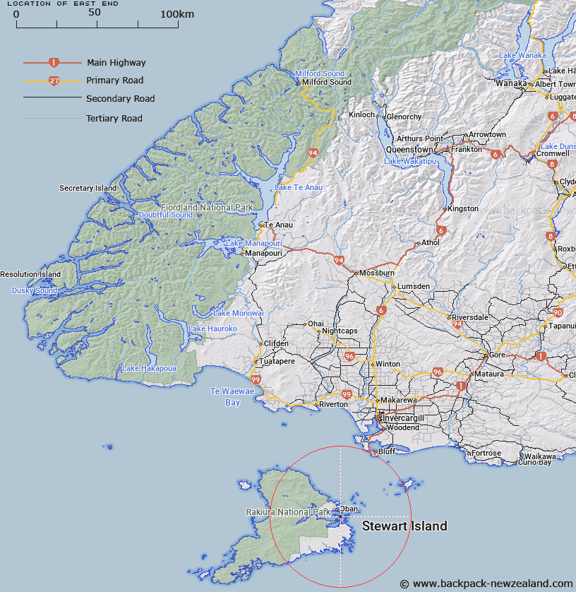
Map showing location of East End
LINZ description: Locality being the eastern end of Ulva Island, East of Roger Bay, Paterson Inlet, Stewart Island. Block 12 Paterson Survey District. Feature shown on: NZMS260 D48 E48 F48 Edition 3 1995
Latitude: -46.934658
Longitude: 168.151736
Northing: 4790677.7
Easting: 1230988.4
Land District: Southland
Feat Type: Locality
Latitude: -46.934658
Longitude: 168.151736
Northing: 4790677.7
Easting: 1230988.4
Land District: Southland
Feat Type: Locality

Scroll down to see a more detailed road map and below that a topographical map showing the location of East End. The road map has been supplied by openstreetmap and the topographical map of East End has been supplied by Land Information New Zealand (LINZ).
Yes you can use the top static map for you school/university project or personal website with a link back. Contact me for any commercial use.
[ A ] [ B ] [ C ] [ D ] [ E ] [ F ] [ G ] [ H ] [ I ] [ J ] [ K ] [ L ] [ M ] [ N ] [ O ] [ P ] [ Q ] [ R ] [ S ] [ T ] [ U ] [ V ] [ W ] [ X ] [ Y ] [ Z ]