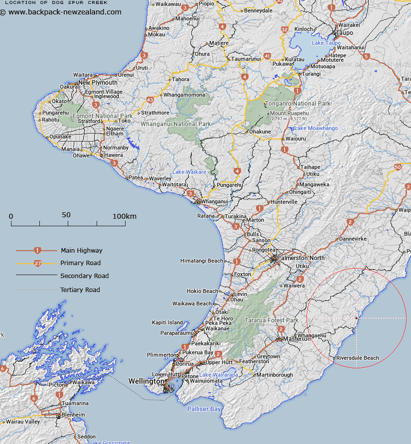
Map showing location of Dog Spur Creek


LINZ description: Right bank tributary of Smith Creek rising 400m North of Trig. Mount Percy No 2 (Geodetic Code A40D), flowing northward and joining Smith Creek 2km upstream of Mataikona River. Blocks II and V Castlepoint Survey District.
Latitude: -40.792189
Longitude: 176.246277
Northing: 5479239.3
Easting: 1873894.3
Land District: Wellington
Feat Type: Stream


Scroll down to see a more detailed road map and below that a topographical map showing the location of Dog Spur Creek. The road map has been supplied by openstreetmap and the topographical map of Dog Spur Creek has been supplied by Land Information New Zealand (LINZ).

Yes you can use the top static map for you school/university project or personal website with a link back. Contact me for any commercial use.

Dog Spur Creek Map New Zealand


New Zealand places in our database
[ A ] [ B ] [ C ] [ D ] [ E ] [ F ] [ G ] [ H ] [ I ] [ J ] [ K ] [ L ] [ M ] [ N ] [ O ] [ P ] [ Q ] [ R ] [ S ] [ T ] [ U ] [ V ] [ W ] [ X ] [ Y ] [ Z ]


Closest 20 Streams to Dog Spur Creek

Mascot Stream ( 2.11km )   Glenfalloch Stream ( 3.05km )   Pavitt Stream ( 3.28km )   Okau Stream ( 4.75km )   Smoky Gully Stream ( 5.98km )   Waipaua Stream ( 7.01km )   Kaingaake Stream ( 7.08km )   Whakataki River ( 7.42km )   Mataikona River ( 7.63km )   Takiritini Stream ( 7.75km )   Pukeatua Stream ( 9.5km )   Motupaua Stream ( 9.57km )   Makatote Stream ( 9.96km )   Pakowhai River ( 11.68km )   Te Wakaaraho Stream ( 11.72km )   Castlepoint Stream ( 12.27km )   Waipu Stream ( 13.59km )   Morepork Stream ( 14.05km )   Ngakauau Stream ( 14.16km )   Waingongoro Stream ( 14.62km )   Wingate Stream ( 14.78km )   Ratanui Stream ( 14.9km )   Waiowaka Stream ( 15.85km )   Woody Gully Stream ( 16.04km )   Whareama River ( 16.3km )   Tinui River ( 16.76km )   Makorua Stream ( 16.81km )   Axehandle Stream ( 16.86km )   Bluegum Stream ( 17.46km )   Annedale Stream ( 17.54km )   Waihoki Stream ( 17.98km )   Otahome Stream ( 17.99km )   Rewa Rewa Stream ( 18.2km )   Waioakura Stream ( 18.52km )   Bush Hill Stream ( 18.54km )   Vee Stream ( 19.15km )   Flag Creek ( 19.79km )   Makirikiri Stream ( 20.09km )   North Branch Makirikiri Stream ( 20.87km )   South Branch Makirikiri Stream ( 21.19km )