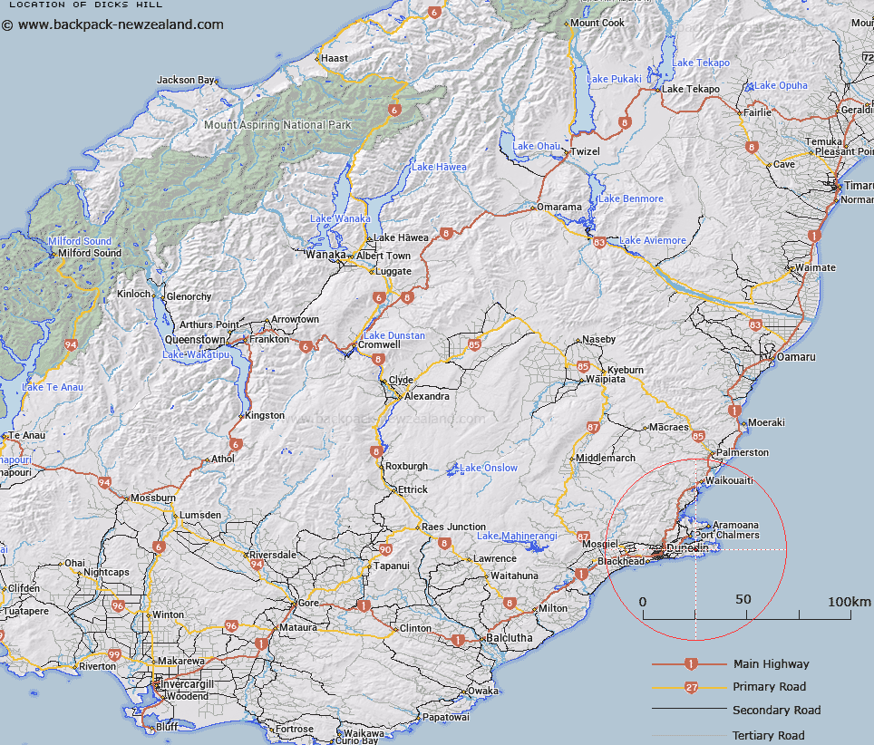
Map showing location of Dicks Hill


LINZ description: Hill on Otago Peninsula, west of Hoopers Inlet and south of Harbour Cone.
Latitude: -45.873852
Longitude: 170.647069
Northing: 4917276.1
Easting: 1417395
Land District: Otago
Feat Type: Hill


Scroll down to see a more detailed road map and below that a topographical map showing the location of Dicks Hill. The road map has been supplied by openstreetmap and the topographical map of Dicks Hill has been supplied by Land Information New Zealand (LINZ).

Yes you can use the top static map for you school/university project or personal website with a link back. Contact me for any commercial use.

Dicks Hill Map New Zealand


New Zealand places in our database
[ A ] [ B ] [ C ] [ D ] [ E ] [ F ] [ G ] [ H ] [ I ] [ J ] [ K ] [ L ] [ M ] [ N ] [ O ] [ P ] [ Q ] [ R ] [ S ] [ T ] [ U ] [ V ] [ W ] [ X ] [ Y ] [ Z ]


Closest 20 Hills to Dicks Hill

Peggys Hill ( 1.25km )   Harbour Cone ( 2.16km )   Patrons Hill ( 2.34km )   Sandymount ( 2.75km )   Dicksons Hill ( 3.11km )   Varleys Hill ( 3.38km )   Gearys Hill ( 3.66km )   Clarks Hill ( 3.86km )   Scotts Hill ( 3.89km )   Highcliff Hill ( 4.33km )   Sheppards Hill ( 4.41km )   Mount Charles ( 4.85km )   Mount Charles/Poatiri ( 4.85km )   McArthny Hill ( 5.58km )   McCartney Hill ( 5.58km )   Papanui Cone ( 6.47km )   McGregors Hill ( 7.1km )   Signal Hill ( 7.28km )   Martins Hill ( 7.64km )   Pyramids ( 8.09km )   Taiaroa Hill ( 8.53km )   Mount Zion ( 9.21km )   Kaika Hill ( 9.33km )   Mount Holmes ( 9.49km )   Butters Peak ( 9.5km )   Buttars Peak ( 9.5km )   Mount Cutten ( 9.7km )   Mount Martin ( 9.73km )   Mount Cargill ( 9.85km )   Hare Hill ( 10.1km )   Mihiwaka ( 10.15km )   Hodson Hill ( 10.49km )   Stone Hill ( 10.61km )   Mount Kettle ( 10.63km )   Pigeon Hill ( 11.05km )   Hautai Hill ( 11.55km )   Wetherston Hill ( 11.56km )   Mopanui ( 12km )   Forbury Hill ( 14.47km )   Flagstaff ( 14.73km )