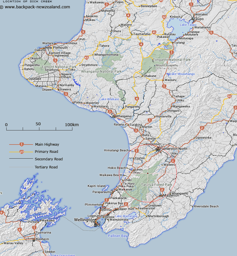
Map showing location of Dick Creek


LINZ description: Flows from Island Ridge and joins Mangahao River approximately half mile south of Johnston Creek. Waiopehu Survey District.
Latitude: -40.66199
Longitude: 175.472837
Northing: 5495823.8
Easting: 1809038.1
Land District: Wellington
Feat Type: Stream


Scroll down to see a more detailed road map and below that a topographical map showing the location of Dick Creek. The road map has been supplied by openstreetmap and the topographical map of Dick Creek has been supplied by Land Information New Zealand (LINZ).

Yes you can use the top static map for you school/university project or personal website with a link back. Contact me for any commercial use.

Dick Creek Map New Zealand


New Zealand places in our database
[ A ] [ B ] [ C ] [ D ] [ E ] [ F ] [ G ] [ H ] [ I ] [ J ] [ K ] [ L ] [ M ] [ N ] [ O ] [ P ] [ Q ] [ R ] [ S ] [ T ] [ U ] [ V ] [ W ] [ X ] [ Y ] [ Z ]


Closest 20 Streams to Dick Creek

Harris Creek ( 1.08km )   Baber Creek ( 2.22km )   Johnston Creek ( 2.8km )   Roaring Creek ( 2.97km )   Tawirikohukohu Stream ( 3.11km )   Tawiri Stream ( 3.11km )   Barra Stream ( 3.13km )   College Creek ( 4km )   Ngamaia Stream ( 4.97km )   Chamberlain Creek ( 4.98km )   Tramway Creek ( 5.31km )   Ngapuketurua Stream ( 5.9km )   Blackwood Stream ( 6.11km )   Waiti Stream ( 6.51km )   Arapeti Stream ( 7.06km )   Ruapae Stream ( 7.13km )   Mangatainoka River ( 7.27km )   North Ohau River ( 7.42km )   Rawnsley Stream ( 7.8km )   Makahika Stream ( 8.02km )   Hart Creek ( 8.29km )   Mangahao River ( 8.44km )   Brockett Creek ( 8.46km )   South Ohau River ( 8.6km )   Taramea Stream ( 9.06km )   Staircase Creek ( 9.07km )   Mangaroa Stream ( 9.42km )   Mangatangi Stream ( 9.42km )   Makotukutuku Stream ( 9.65km )   Makakahi River ( 10.1km )   Butchers Creek ( 10.45km )   Blackwater Stream ( 10.52km )   Arete Stream ( 10.72km )   Thompson Creek ( 12.02km )   Makaretu Stream ( 12.16km )   Cleft Creek ( 12.2km )   Otauru Stream ( 12.34km )   Waiopehu Stream ( 12.68km )   Koputaroa Stream ( 12.68km )   Cow Creek ( 12.73km )