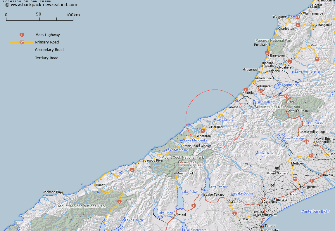
Map showing location of Dam Creek


LINZ description: Feature shown on: NZMS260 I34 Edition 1 1994
Latitude: -43.042778
Longitude: 170.623444
Northing: 5231693.8
Easting: 1406421.4
Land District: Westland
Feat Type: Stream


Scroll down to see a more detailed road map and below that a topographical map showing the location of Dam Creek. The road map has been supplied by openstreetmap and the topographical map of Dam Creek has been supplied by Land Information New Zealand (LINZ).

Yes you can use the top static map for you school/university project or personal website with a link back. Contact me for any commercial use.
Dam Creek Map New Zealand


New Zealand places in our database
[ A ] [ B ] [ C ] [ D ] [ E ] [ F ] [ G ] [ H ] [ I ] [ J ] [ K ] [ L ] [ M ] [ N ] [ O ] [ P ] [ Q ] [ R ] [ S ] [ T ] [ U ] [ V ] [ W ] [ X ] [ Y ] [ Z ]


Closest 20 Streams to Dam Creek

Dam Creek ( 0km )   Benford Creek ( 0.31km )   Camerons Creek ( 3.11km )   Duffers Creek ( 3.99km )   Ianthe Creek ( 4.09km )   Dunlop Creek ( 4.11km )   Bonar Creek ( 4.69km )   Milwain Creek ( 5.11km )   Te Rahotaiepa River ( 5.25km )   Allen Creek ( 5.4km )   Urquhart Creek ( 5.44km )   Beta Creek ( 5.78km )   Alpha Creek ( 5.96km )   Adamson Creek ( 6.13km )   Alexander Creek ( 6.39km )   Gamma Creek ( 6.51km )   Berry Creek ( 6.71km )   Reid Creek ( 7.13km )   Haro Creek ( 7.17km )   Thorpe Creek ( 7.88km )   Evans Creek ( 8.01km )   Urquhart Creek ( 8.04km )   Chinn Creek ( 8.12km )   La Fontaine Stream ( 8.2km )   Ellis Creek ( 8.78km )   Kakapotahi River (Little Waitaha River) ( 9.03km )   Wingham Creek ( 9.05km )   Cowhide Creek ( 9.86km )   Whakaikai River ( 9.94km )   Black George Creek ( 10.37km )   Waitaha River ( 10.61km )   Cool Creek ( 10.83km )   Ash Creek ( 11.07km )   Leslie Creek ( 11.09km )   Allen Creek ( 11.15km )   Douglas Creek ( 11.16km )   Gee Creek ( 11.42km )   Saint Georges Creek ( 11.44km )   Hudson Creek ( 11.47km )   Silt Stream ( 11.53km )