Map showing location of Crossley Stream
LINZ description: Right bank tributary of North Esk River draining the North-east slopes of Mount Crossley, flowing North-westward and joining North Esk River 100m downstream of Kennedy Stream. Blocks XI, XIV and XV, Katrine Survey District.
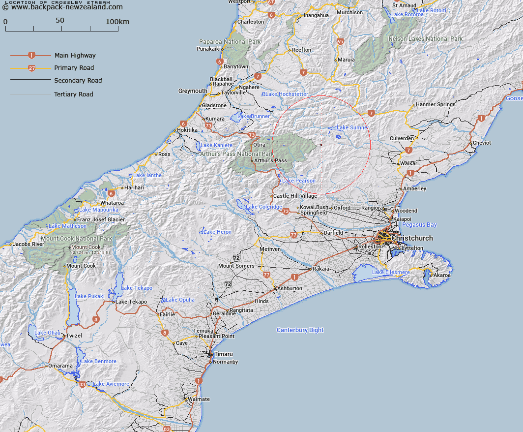
Latitude: -42.825767
Longitude: 172.108342
Northing: 5258147.7
Easting: 1527117.2
Land District: Canterbury
Feat Type: Stream
Latitude: -42.825767
Longitude: 172.108342
Northing: 5258147.7
Easting: 1527117.2
Land District: Canterbury
Feat Type: Stream

Scroll down to see a more detailed road map and below that a topographical map showing the location of Crossley Stream. The road map has been supplied by openstreetmap and the topographical map of Crossley Stream has been supplied by Land Information New Zealand (LINZ).
Yes you can use the top static map for you school/university project or personal website with a link back. Contact me for any commercial use.
[ A ] [ B ] [ C ] [ D ] [ E ] [ F ] [ G ] [ H ] [ I ] [ J ] [ K ] [ L ] [ M ] [ N ] [ O ] [ P ] [ Q ] [ R ] [ S ] [ T ] [ U ] [ V ] [ W ] [ X ] [ Y ] [ Z ]