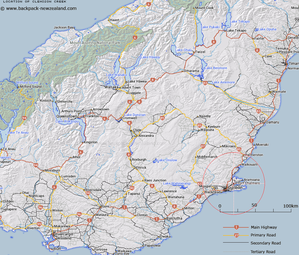
Map showing location of Clemison Creek


LINZ description: Creek flowing into Sawyers Bay, Dunedin
Latitude: -45.818715
Longitude: 170.590114
Northing: 4923270
Easting: 1412790
Land District: Otago
Feat Type: Stream


Scroll down to see a more detailed road map and below that a topographical map showing the location of Clemison Creek. The road map has been supplied by openstreetmap and the topographical map of Clemison Creek has been supplied by Land Information New Zealand (LINZ).

Yes you can use the top static map for you school/university project or personal website with a link back. Contact me for any commercial use.

Clemison Creek Map New Zealand


New Zealand places in our database
[ A ] [ B ] [ C ] [ D ] [ E ] [ F ] [ G ] [ H ] [ I ] [ J ] [ K ] [ L ] [ M ] [ N ] [ O ] [ P ] [ Q ] [ R ] [ S ] [ T ] [ U ] [ V ] [ W ] [ X ] [ Y ] [ Z ]


Closest 20 Streams to Clemison Creek

Thomson Creek ( 1.1km )   McDermids Creek ( 1.66km )   Cedar Creek ( 4.33km )   Craigs Creek ( 4.37km )   Styles Creek ( 4.73km )   Baynes Creek ( 4.83km )   Lindsay Creek ( 5km )   Smiths Creek ( 5.12km )   Orokonui Creek ( 5.87km )   Opoho Creek ( 5.94km )   Dons Creek ( 6.03km )   P?r?kaunui Creek ( 6.1km )   Waitati River ( 6.19km )   Battery Creek ( 6.5km )   Drivers Creek ( 6.87km )   Stewarts Creek ( 6.91km )   Abernethys Creek ( 7km )   Morrisons Burn ( 7.02km )   Mabel Creek ( 7.23km )   Semple Burn ( 7.34km )   Water of Leith ( 7.54km )   Weipers Creek ( 7.71km )   Burns Creek ( 7.77km )   Nicols Creek ( 7.78km )   Robertsons Creek ( 7.89km )   Fergusons Creek ( 8.06km )   Morris Creek ( 8.58km )   Lagoon Creek ( 8.78km )   Jennings Creek ( 8.84km )   Tomahawk Creek ( 9km )   Alexanders Creek ( 9.92km )   Whare Creek ( 11.33km )   McQuilkans Creek ( 11.59km )   Careys Creek ( 12.29km )   Flagstaff Creek ( 12.82km )   Powder Creek East Branch ( 13.18km )   Kaikorai Stream ( 13.37km )   Mossy Stream ( 13.98km )   Kilmog Creek ( 14.62km )   Toll Bar Creek ( 14.9km )