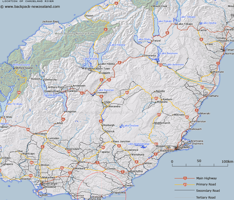
Map showing location of Chaseland River


LINZ description: River with it's source in the MacLennan Range and flowing generally southeastward to the Waipati Estuary at Makati (Chaslands Mistake). Tautuku Survey District.
Latitude: -46.613106
Longitude: 169.304353
Northing: 4831191.8
Easting: 1317025.5
Land District: Otago
Feat Type: Stream


Scroll down to see a more detailed road map and below that a topographical map showing the location of Chaseland River. The road map has been supplied by openstreetmap and the topographical map of Chaseland River has been supplied by Land Information New Zealand (LINZ).

Yes you can use the top static map for you school/university project or personal website with a link back. Contact me for any commercial use.

Chaseland River Map New Zealand


New Zealand places in our database
[ A ] [ B ] [ C ] [ D ] [ E ] [ F ] [ G ] [ H ] [ I ] [ J ] [ K ] [ L ] [ M ] [ N ] [ O ] [ P ] [ Q ] [ R ] [ S ] [ T ] [ U ] [ V ] [ W ] [ X ] [ Y ] [ Z ]


Closest 20 Streams to Chaseland River

Delilah Creek ( 3.39km )   Montrose Creek ( 3.63km )   Hukihuki Creek ( 3.69km )   Kikaparau Creek ( 4.41km )   Longbeach Creek ( 4.58km )   Kathleen Creek ( 4.75km )   Dummys Beach Creek ( 5.43km )   Robin Creek ( 5.65km )   Duckaday Creek ( 5.69km )   Elsinore Creek ( 5.79km )   Tautuku River ( 6.37km )   Granger Creek ( 7.58km )   Falls Creek ( 7.71km )   Waitarati Creek ( 7.8km )   Alison Creek ( 8.11km )   Fleming River ( 8.14km )   Mill Creek ( 9.29km )   Diggers Creek ( 10.82km )   Jumbo Creek ( 11.46km )   Rough Creek ( 11.49km )   Saddle Creek ( 11.6km )   Luna Creek ( 11.64km )   Isas Creek ( 11.79km )   Big Creek ( 12.04km )   Surveyors Creek ( 12.44km )   Waikawa River ( 13.3km )   Swift Creek ( 13.34km )   Florence Creek ( 13.61km )   Mouats Saddle Creek ( 14.39km )   Back Creek ( 14.5km )   Boundary Creek ( 14.73km )   Tahakopa River ( 15.1km )   Jordan Creek ( 15.3km )   Stinking Creek ( 15.54km )   Maclennan River ( 15.65km )   Waikawa River East Branch ( 15.84km )   Sharks Creek ( 16.82km )   Gorge Stream ( 17.01km )   Beresford Creek ( 17.09km )   Matai Stream ( 17.13km )