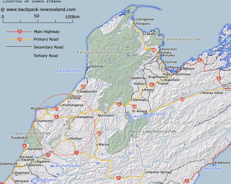
Map showing location of Chaka Stream
LINZ description: Left bank tributary of Nada Creek in the Blackwater River valley, rising 5.9km North-east of Mount Copernicus (Geodetic Code A5RF), flowing North-eastward, and joining Nada Creek 3.1km upstream of Blackwater River. Blocks XII and XVI Ohika Survey District.
Latitude: -41.944387
Longitude: 171.804724
Northing: 5355707.5
Easting: 1500923.2
Land District: Nelson
Feat Type: Stream
Latitude: -41.944387
Longitude: 171.804724
Northing: 5355707.5
Easting: 1500923.2
Land District: Nelson
Feat Type: Stream

Scroll down to see a more detailed road map and below that a topographical map showing the location of Chaka Stream. The road map has been supplied by openstreetmap and the topographical map of Chaka Stream has been supplied by Land Information New Zealand (LINZ).
Yes you can use the top static map for you school/university project or personal website with a link back. Contact me for any commercial use.
[ A ] [ B ] [ C ] [ D ] [ E ] [ F ] [ G ] [ H ] [ I ] [ J ] [ K ] [ L ] [ M ] [ N ] [ O ] [ P ] [ Q ] [ R ] [ S ] [ T ] [ U ] [ V ] [ W ] [ X ] [ Y ] [ Z ]