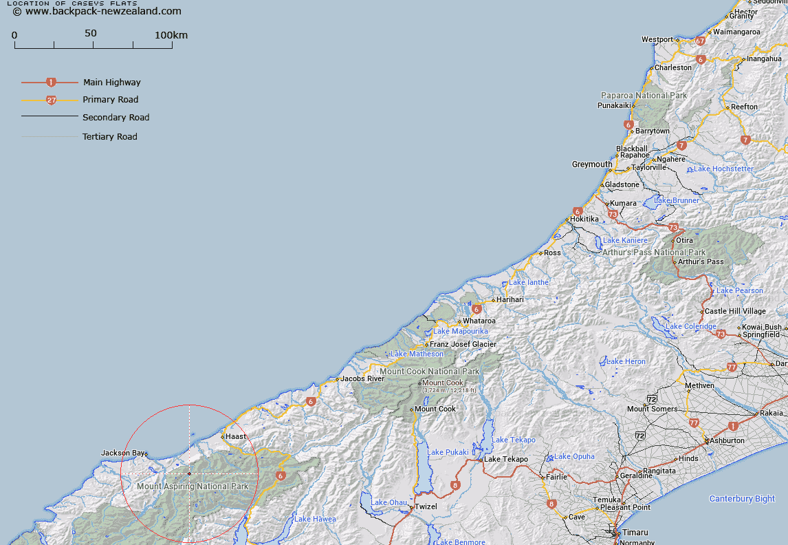
Map showing location of Caseys Flats


LINZ description: River flats on the Waiatoto River, by Casey Creek.
Latitude: -44.07802
Longitude: 168.854318
Northing: 5111100
Easting: 1268049.9
Land District: Westland
Feat Type: Flat


Scroll down to see a more detailed road map and below that a topographical map showing the location of Caseys Flats. The road map has been supplied by openstreetmap and the topographical map of Caseys Flats has been supplied by Land Information New Zealand (LINZ).

Yes you can use the top static map for you school/university project or personal website with a link back. Contact me for any commercial use.

Caseys Flats Map New Zealand


New Zealand places in our database
[ A ] [ B ] [ C ] [ D ] [ E ] [ F ] [ G ] [ H ] [ I ] [ J ] [ K ] [ L ] [ M ] [ N ] [ O ] [ P ] [ Q ] [ R ] [ S ] [ T ] [ U ] [ V ] [ W ] [ X ] [ Y ] [ Z ]


Closest 20 Flats to Caseys Flats

Long Beach ( 5.64km )   Axius Flats ( 5.94km )   Quail Flat ( 6.98km )   Caseys Farm ( 7.92km )   Ferny Flat ( 8.68km )   Alpine Flat ( 9.7km )   Blueberry Flat ( 10.03km )   Quail Flat ( 10.85km )   Jackson Flat ( 10.98km )   Island Flat ( 12.73km )   Drake Flats ( 13.53km )   Callery Flat ( 13.91km )   Teapot Flat ( 14.98km )   Jubilee Flat ( 18.17km )   Lindsay Flat ( 19.42km )   Bonar Flats ( 21.42km )   Lumber Flat ( 22.46km )   Wonderland Flat ( 23.29km )   Waterfall Flat ( 24.04km )   Jumboland Flat ( 24.08km )   Kerin Forks Flat ( 25km )   Xmas Flat ( 26.95km )   Teer Plateau ( 26.96km )   Dans Flat ( 27.48km )   Cron Flat ( 28.09km )   Carmichael Plateau ( 28.41km )   Law Flat ( 28.71km )   Cascade Plateau ( 29.75km )   Porridge Flat ( 30.15km )   Ram Flat ( 31.26km )   Ruth Flat ( 31.54km )   Grassy Flat ( 31.65km )   Courtneys Flat ( 33.47km )   Sawmill Flat ( 34.19km )   Millionaire Flat ( 34.33km )   Rainy Flat ( 34.5km )   Mark Flat ( 34.55km )   Boiler Flat ( 34.56km )   Bridge Flat ( 35.02km )   Cameron Flat ( 36.76km )