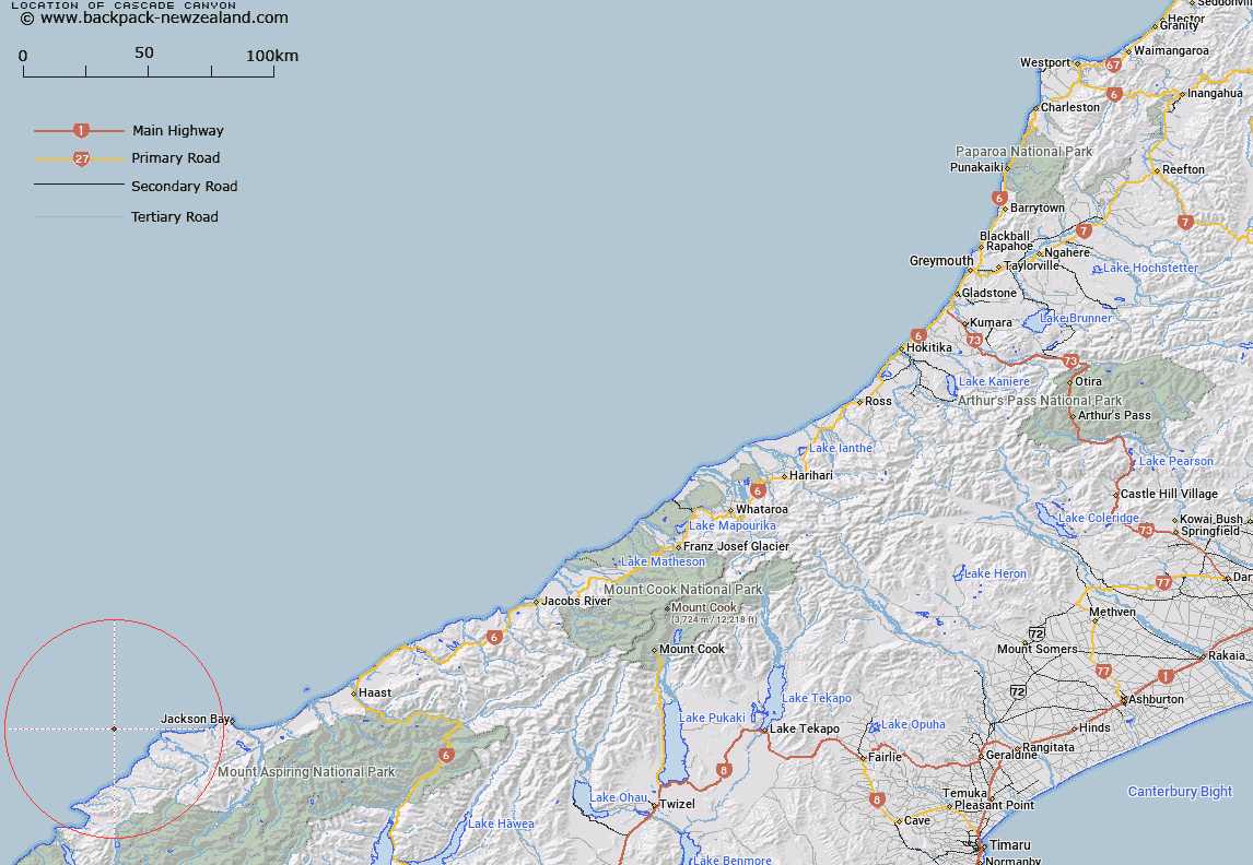
Map showing location of Cascade Canyon
LINZ description: A short canyon originating off Cascade River, and merging into Waiatoto Canyon, West Coast, South Island. Depicted on West Coast Canyon Chart©, Mackay et al., 2009.
Latitude: -44
Longitude: 168.2
Northing: 5116915.4
Easting: 1215148.2
Land District: Westland
Feat Type: Canyon
Latitude: -44
Longitude: 168.2
Northing: 5116915.4
Easting: 1215148.2
Land District: Westland
Feat Type: Canyon

Scroll down to see a more detailed road map and below that a topographical map showing the location of Cascade Canyon. The road map has been supplied by openstreetmap and the topographical map of Cascade Canyon has been supplied by Land Information New Zealand (LINZ).
Yes you can use the top static map for you school/university project or personal website with a link back. Contact me for any commercial use.
[ A ] [ B ] [ C ] [ D ] [ E ] [ F ] [ G ] [ H ] [ I ] [ J ] [ K ] [ L ] [ M ] [ N ] [ O ] [ P ] [ Q ] [ R ] [ S ] [ T ] [ U ] [ V ] [ W ] [ X ] [ Y ] [ Z ]