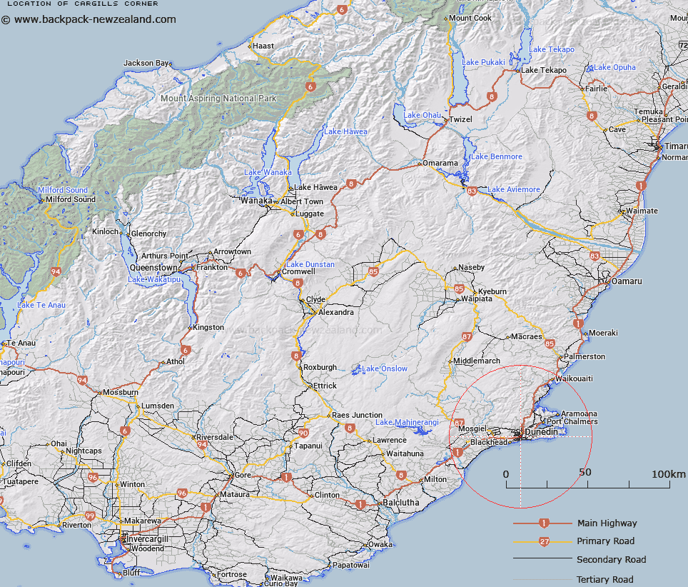
Map showing location of Cargills Corner


LINZ description: Locality at intersection of Hillside Road and King Edward Street, Dunedin
Latitude: -45.893425
Longitude: 170.498199
Northing: 4914750
Easting: 1405910
Land District: Otago
Feat Type: Locality


Scroll down to see a more detailed road map and below that a topographical map showing the location of Cargills Corner. The road map has been supplied by openstreetmap and the topographical map of Cargills Corner has been supplied by Land Information New Zealand (LINZ).

Yes you can use the top static map for you school/university project or personal website with a link back. Contact me for any commercial use.

Cargills Corner Map New Zealand


New Zealand places in our database
[ A ] [ B ] [ C ] [ D ] [ E ] [ F ] [ G ] [ H ] [ I ] [ J ] [ K ] [ L ] [ M ] [ N ] [ O ] [ P ] [ Q ] [ R ] [ S ] [ T ] [ U ] [ V ] [ W ] [ X ] [ Y ] [ Z ]


Closest 20 Localitys to Cargills Corner

The Glen ( 0.7km )   Forbury Corner ( 1.2km )   The Exchange ( 1.74km )   Glenross ( 3.81km )   The Cove ( 4.32km )   Gardens ( 4.59km )   Blackhead ( 5.31km )   Highcliff ( 5.72km )   Glenleith ( 5.99km )   Leith Valley ( 6.33km )   Burkes ( 7.1km )   Waldronville ( 7.96km )   Macandrew's Bay ( 8.12km )   Macandrew Bay ( 8.12km )   Fairfield ( 8.55km )   Upper Junction ( 8.59km )   Company Bay ( 8.79km )   Wingatui ( 8.91km )   Chain Hills ( 9.81km )   Pukehiki ( 9.84km )   Saddle Hill ( 9.87km )   Janefield ( 9.99km )   Whare Flat ( 10.14km )   Broad Bay ( 10.72km )   Roseneath ( 10.81km )   Westwood ( 10.98km )   Kinmont Park ( 11.2km )   Sandymount ( 11.31km )   Pigeon Flat ( 11.79km )   Mount Cargill ( 11.85km )   East Taieri ( 12.37km )   Five Roads ( 12.7km )   Careys Bay ( 13.53km )   North Taieri ( 13.61km )   Upper Waitati ( 14.16km )   Hoopers Inlet ( 14.19km )   Owhiro ( 14.46km )   Deborah Bay ( 14.57km )   Brighton ( 14.76km )   Tara Hills ( 14.77km )