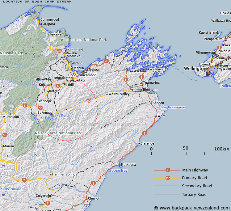
Map showing location of Bush Camp Stream


LINZ description: Stream flowing down south side of Wairau Valley, rising in the Raglan Range.
Latitude: -41.749151
Longitude: 173.028517
Northing: 5378074.3
Easting: 1602371
Land District: Marlborough
Feat Type: Stream


Scroll down to see a more detailed road map and below that a topographical map showing the location of Bush Camp Stream. The road map has been supplied by openstreetmap and the topographical map of Bush Camp Stream has been supplied by Land Information New Zealand (LINZ).

Yes you can use the top static map for you school/university project or personal website with a link back. Contact me for any commercial use.

Bush Camp Stream Map New Zealand


New Zealand places in our database
[ A ] [ B ] [ C ] [ D ] [ E ] [ F ] [ G ] [ H ] [ I ] [ J ] [ K ] [ L ] [ M ] [ N ] [ O ] [ P ] [ Q ] [ R ] [ S ] [ T ] [ U ] [ V ] [ W ] [ X ] [ Y ] [ Z ]


Closest 20 Streams to Bush Camp Stream

Dover Stream ( 2.16km )   Possum Stream ( 2.41km )   Six Mile Creek ( 2.69km )   Netting Stream ( 4.41km )   Stoney Stream ( 4.7km )   Motueka River Right Branch ( 5.07km )   Maitland Creek ( 5.76km )   Wash Stream ( 5.87km )   Nesbits Creek ( 6.31km )   Beebys Creek ( 7.13km )   Eves Stream ( 7.17km )   Shingle Stream ( 8.07km )   Bull Paddock Stream ( 8.46km )   Silverstream ( 8.56km )   5 Mile Creek ( 9.94km )   Alan Stream ( 10.05km )   Chrome Stream ( 10.07km )   May Stream ( 10.2km )   Porters Creek ( 10.32km )   Stag Creek ( 10.38km )   Rocky Creek ( 10.41km )   Lowther Creek ( 10.73km )   Sandfly Stream ( 10.99km )   Scott Stream ( 11.19km )   No Catchem Stream ( 11.46km )   Alpine Creek ( 11.47km )   Henry Stream ( 11.81km )   Roundell Creek ( 11.91km )   Monte Creek ( 12.2km )   Porter Creek ( 12.2km )   Pakihi Creek ( 12.32km )   Two Mile Creek ( 12.42km )   Greig Stream ( 12.61km )   Chinaman Stream ( 12.96km )   Branch River ( 13.01km )   Goat Stream ( 13.05km )   Little Siberia Stream ( 13.13km )   St Arnaud Stream ( 13.14km )   Diggers Creek ( 13.47km )   Bouldery Creek ( 13.5km )