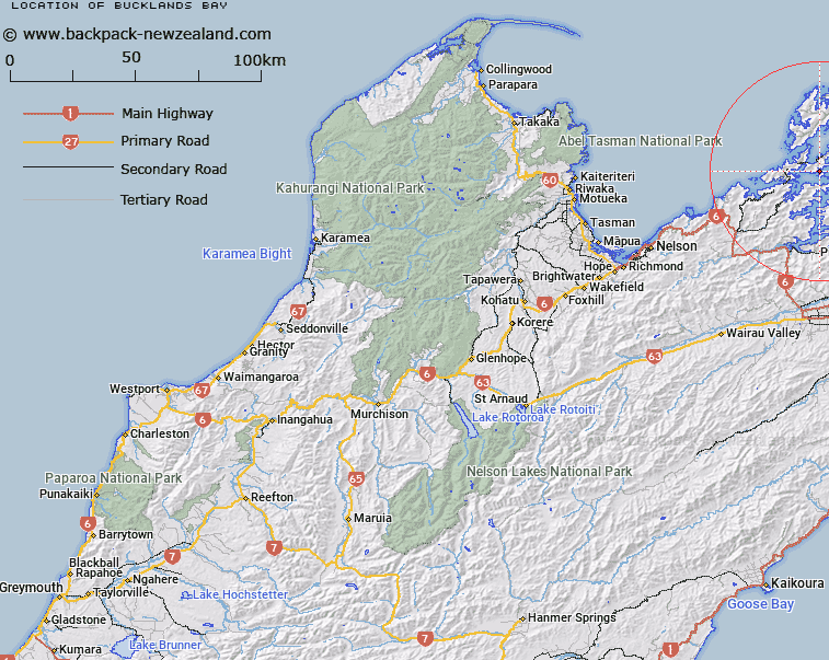
Map showing location of Bucklands Bay


LINZ description: Feature shown on: NZMS260 O26 P25 Pt P26; NZTopo50-BP28 732592
Latitude: -41.015067
Longitude: 173.8708
Northing: 5459205.2
Easting: 1673219.3
Land District: Nelson
Feat Type: Bay


Scroll down to see a more detailed road map and below that a topographical map showing the location of Bucklands Bay. The road map has been supplied by openstreetmap and the topographical map of Bucklands Bay has been supplied by Land Information New Zealand (LINZ).

Yes you can use the top static map for you school/university project or personal website with a link back. Contact me for any commercial use.
Bucklands Bay Map New Zealand


New Zealand places in our database
[ A ] [ B ] [ C ] [ D ] [ E ] [ F ] [ G ] [ H ] [ I ] [ J ] [ K ] [ L ] [ M ] [ N ] [ O ] [ P ] [ Q ] [ R ] [ S ] [ T ] [ U ] [ V ] [ W ] [ X ] [ Y ] [ Z ]


Closest 20 Bays to Bucklands Bay

Waiona Bay ( 1.42km )   Woodlands Bay ( 1.42km )   Deep Bay ( 1.42km )   Picnic Bay ( 2.89km )   Hamilton Bay ( 3.64km )   Te Towaka Bay (Burnside Bay) ( 3.99km )   Hamilton Cove ( 4.29km )   Hallam Cove ( 4.6km )   Cissy Bay ( 4.64km )   Island Bay (Huritini) ( 4.8km )   Elsie Bay ( 4.84km )   Turner Bay ( 4.95km )   Brightlands Bay ( 5.12km )   Steamboat Bay ( 6.14km )   Wait?t? Bay ( 6.34km )   Canoe Bay ( 6.5km )   Horseshoe Bay ( 6.61km )   Deep Bay ( 6.67km )   Fitzroy Bay ( 6.8km )   Garne Bay ( 6.96km )   Miro Bay ( 7.03km )   Wilson Bay ( 7.08km )   Tawhitinui Bay ( 7.24km )   Camp Bay ( 7.37km )   Tawa Bay ( 7.43km )   Garden Bay ( 7.47km )   Tiraora Bay ( 7.55km )   Savill Bay ( 7.96km )   Waikawa Bay ( 8.02km )   Richmond Bay ( 8.14km )   Admiralty Bay ( 8.25km )   Rerekarua Bay ( 8.27km )   Okure Bay ( 8.43km )   Okuri Bay ( 8.43km )   Camp Bay ( 8.56km )   North West Bay ( 8.57km )   Tennyson Inlet ( 8.8km )   Kokowhai Bay (Turners Bay) ( 8.83km )   Tamuakawawe Bay ( 9.26km )   Elaine Bay ( 9.3km )