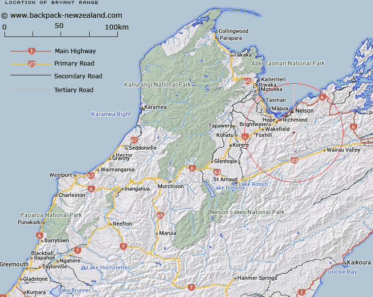
Map showing location of Bryant Range
LINZ description: Extending from Old Man Peak and passing through Mount Starveall, Mount Stewart, Maungatapu, Saddle Hill, Mount Duppa, Rai Saddle, and Croisilles Peak to Cape Soucis. Rintoul, Waimea, Maungatapu, Wakapouaka, Whangamoa, Heringa, Wakamarina & Tennyson Survey Districts.
Latitude: -41.431333
Longitude: 173.287744
Northing: 5413319.1
Easting: 1624041.3
Land District: Nelson, Marlborough
Feat Type: Range
Latitude: -41.431333
Longitude: 173.287744
Northing: 5413319.1
Easting: 1624041.3
Land District: Nelson, Marlborough
Feat Type: Range

Scroll down to see a more detailed road map and below that a topographical map showing the location of Bryant Range. The road map has been supplied by openstreetmap and the topographical map of Bryant Range has been supplied by Land Information New Zealand (LINZ).
Yes you can use the top static map for you school/university project or personal website with a link back. Contact me for any commercial use.
[ A ] [ B ] [ C ] [ D ] [ E ] [ F ] [ G ] [ H ] [ I ] [ J ] [ K ] [ L ] [ M ] [ N ] [ O ] [ P ] [ Q ] [ R ] [ S ] [ T ] [ U ] [ V ] [ W ] [ X ] [ Y ] [ Z ]