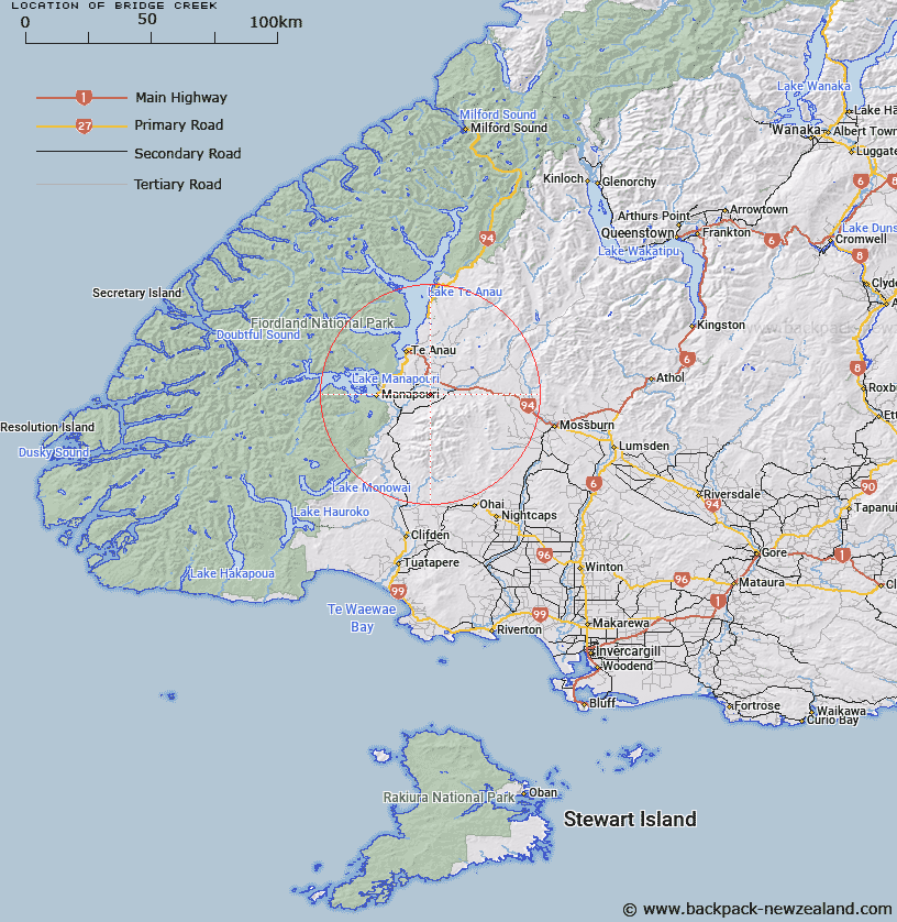
Map showing location of Bridge Creek


LINZ description: Feature shown on: NZMS260 D43 Edition 1 1990
Latitude: -45.561194
Longitude: 167.801361
Northing: 4941545.6
Easting: 1194297.9
Land District: Southland
Feat Type: Stream


Scroll down to see a more detailed road map and below that a topographical map showing the location of Bridge Creek. The road map has been supplied by openstreetmap and the topographical map of Bridge Creek has been supplied by Land Information New Zealand (LINZ).

Yes you can use the top static map for you school/university project or personal website with a link back. Contact me for any commercial use.
Bridge Creek Map New Zealand


New Zealand places in our database
[ A ] [ B ] [ C ] [ D ] [ E ] [ F ] [ G ] [ H ] [ I ] [ J ] [ K ] [ L ] [ M ] [ N ] [ O ] [ P ] [ Q ] [ R ] [ S ] [ T ] [ U ] [ V ] [ W ] [ X ] [ Y ] [ Z ]


Closest 20 Streams to Bridge Creek

Elm Tree Creek ( 3.93km )   Flaxy Creek ( 4.9km )   Elm Tree Creek (West Branch) ( 6.62km )   Lagoon Creek ( 7.23km )   Excelsior Creek ( 7.47km )   Elm Tree Creek (East Branch) ( 7.85km )   Waituna Creek ( 7.85km )   Princhester Creek ( 10.56km )   Princhester Creek West Branch ( 11.27km )   Home Creek ( 11.34km )   Horseshoe Bend ( 11.8km )   Bog Burn ( 11.9km )   Whare Creek ( 12.21km )   Princhester Creek East Branch ( 12.27km )   Rainbow Reach ( 12.56km )   Coal Creek ( 12.75km )   Thomas Burn ( 13.13km )   Coal Creek ( 13.25km )   Boulder Reach ( 13.3km )   Stony Creek ( 13.56km )   Gorge Creek ( 13.82km )   Yerex Reach ( 13.99km )   Balloon Loop ( 14.29km )   Little Creek ( 14.39km )   Aparima River South Branch ( 15.25km )   Coal Creek ( 15.89km )   Dale Creek ( 16.98km )   Moat Creek ( 17.06km )   Aparima River ( 17.67km )   Spence Burn ( 17.88km )   Redcliff Creek ( 19.41km )   Windy Creek ( 19.44km )   Waterloo Burn ( 19.55km )   Coal Creek ( 19.89km )   Whitestone River ( 20.97km )   McKerchar Creek ( 21.27km )   Pleasant Creek ( 21.43km )   Forest Burn ( 21.82km )   Weydon Burn ( 23.12km )   Lady Burn ( 23.42km )