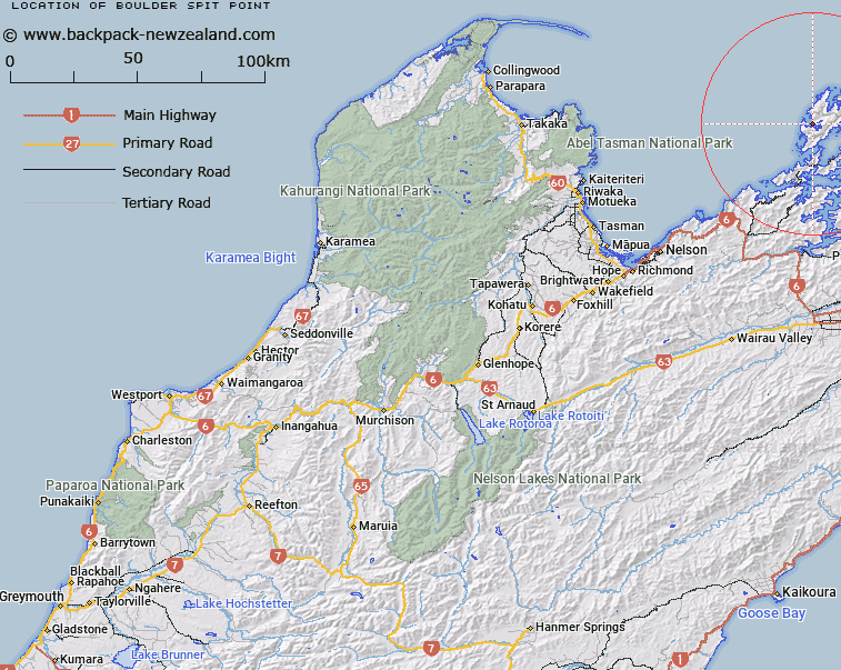
Map showing location of Boulder Spit Point
LINZ description: A shingle bank which runs across the inner part of Greville Harbour and almost seperates the Arms from the harbour. A deep channel through it has a strong tidal force. Feature shown on: NZMS260 O26 P25 Pt P26; NZTopo50-BP28 682776
Latitude: -40.849944
Longitude: 173.809
Northing: 5477585.4
Easting: 1668192.5
Land District: Nelson
Feat Type: Point
Latitude: -40.849944
Longitude: 173.809
Northing: 5477585.4
Easting: 1668192.5
Land District: Nelson
Feat Type: Point

Scroll down to see a more detailed road map and below that a topographical map showing the location of Boulder Spit Point. The road map has been supplied by openstreetmap and the topographical map of Boulder Spit Point has been supplied by Land Information New Zealand (LINZ).
Yes you can use the top static map for you school/university project or personal website with a link back. Contact me for any commercial use.
[ A ] [ B ] [ C ] [ D ] [ E ] [ F ] [ G ] [ H ] [ I ] [ J ] [ K ] [ L ] [ M ] [ N ] [ O ] [ P ] [ Q ] [ R ] [ S ] [ T ] [ U ] [ V ] [ W ] [ X ] [ Y ] [ Z ]