Map showing location of Boat Bay


LINZ description: Feature shown on: NZMS260 U11 U12 U13
Latitude: -37.367694
Longitude: 175.939944
Northing: 5860280.8
Easting: 1860350.1
Land District: South Auckland
Feat Type: Bay
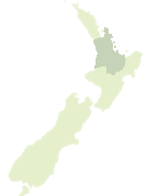

Scroll down to see a more detailed road map and below that a topographical map showing the location of Boat Bay. The road map has been supplied by openstreetmap and the topographical map of Boat Bay has been supplied by Land Information New Zealand (LINZ).

Yes you can use the top static map for you school/university project or personal website with a link back. Contact me for any commercial use.
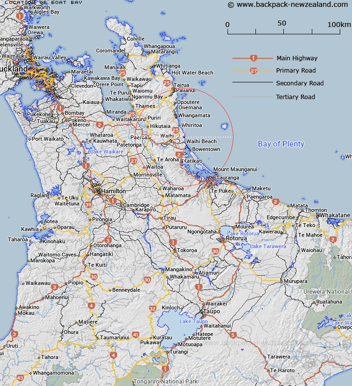
Boat Bay Map New Zealand


New Zealand places in our database
[ A ] [ B ] [ C ] [ D ] [ E ] [ F ] [ G ] [ H ] [ I ] [ J ] [ K ] [ L ] [ M ] [ N ] [ O ] [ P ] [ Q ] [ R ] [ S ] [ T ] [ U ] [ V ] [ W ] [ X ] [ Y ] [ Z ]


Closest 20 Bays to Boat Bay

Homunga Bay ( 0.86km )   Orokawa Bay ( 2km )   Shark Bay ( 2.68km )   Mataora Bay ( 7.51km )   Shelly Bay ( 11.3km )   Waimana Bay ( 11.34km )   Waimama Bay ( 11.34km )   Anzac Bay ( 11.81km )   Papakura Bay ( 12.43km )   Whangamata Harbour ( 21.31km )   Pakahakaha Bay ( 23.48km )   Bay of Plenty ( 24.52km )   Blue Gum Bay ( 25.54km )   North West Bay (Oira) ( 26.95km )   Moewai Bay ( 26.98km )   Tauranga Harbour ( 27.87km )   Western Bay (Omapu) ( 28.04km )   Wharekawa Harbour ( 28.4km )   South East Bay (Opo) ( 28.96km )   Taratimi Bay ( 30.75km )   Orongatea Bay ( 31.05km )   Mangawhai Bay ( 33.39km )   Duck Bay ( 33.63km )   Tairua Harbour ( 39.43km )   Waipu Bay ( 42.05km )   Rangataua Bay ( 44.68km )   Te T?huna o Rangataua ( 44.68km )   Welcome Bay ( 44.86km )   Kuranui Bay ( 45.38km )   Tuatara Bay ( 45.54km )   Te Karo Bay ( 45.85km )   Otara Bay ( 46.77km )   Neaves Bay ( 47.91km )   Tainui ( 47.96km )   Loughlins Bay ( 48.57km )   Tapuaetahi Bay (Boat Harbour) ( 48.97km )   Wairanaki Bay ( 49km )   Woods Bay ( 49.55km )   Orongatea Bay ( 49.68km )   Tumu Bay ( 50.64km )