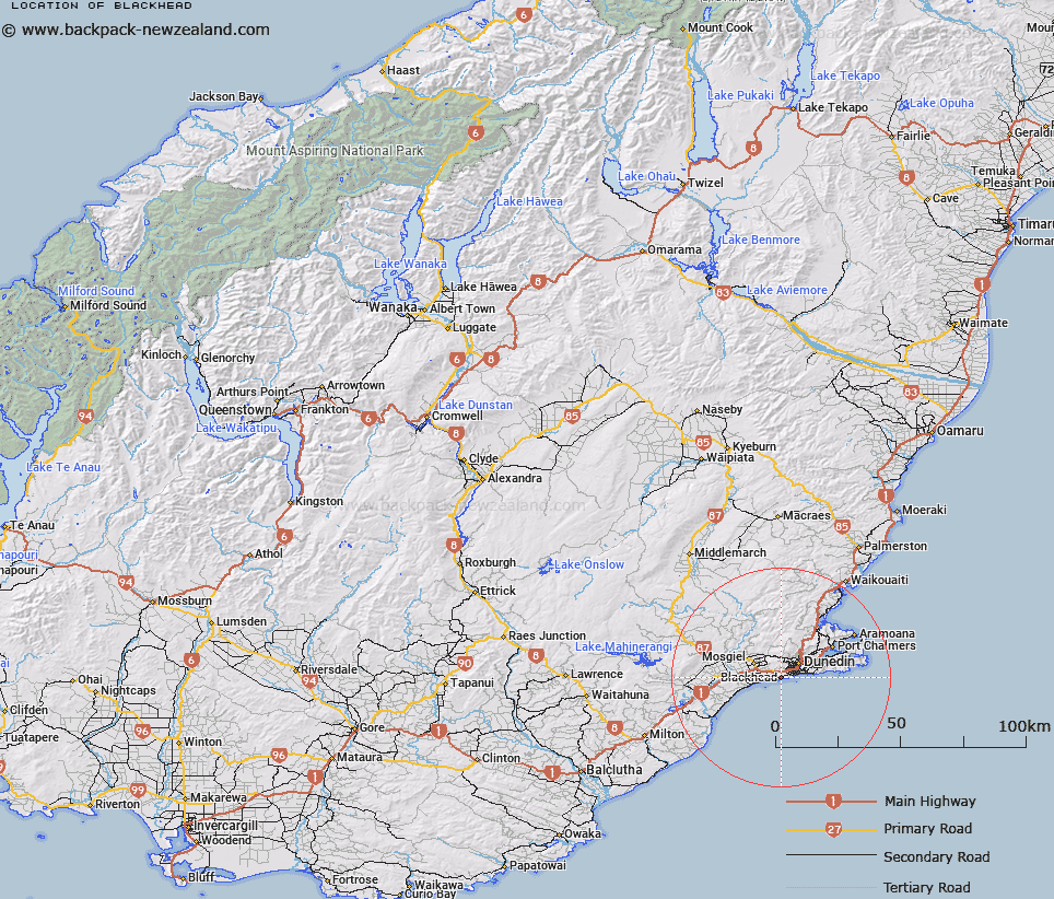
Map showing location of Blackhead


LINZ description: Locality on the coast east of Wardronville.
Latitude: -45.921447
Longitude: 170.442644
Northing: 4911500
Easting: 1401700
Land District: Otago
Feat Type: Locality


Scroll down to see a more detailed road map and below that a topographical map showing the location of Blackhead. The road map has been supplied by openstreetmap and the topographical map of Blackhead has been supplied by Land Information New Zealand (LINZ).

Yes you can use the top static map for you school/university project or personal website with a link back. Contact me for any commercial use.

Blackhead Map New Zealand


New Zealand places in our database
[ A ] [ B ] [ C ] [ D ] [ E ] [ F ] [ G ] [ H ] [ I ] [ J ] [ K ] [ L ] [ M ] [ N ] [ O ] [ P ] [ Q ] [ R ] [ S ] [ T ] [ U ] [ V ] [ W ] [ X ] [ Y ] [ Z ]


Closest 20 Localitys to Blackhead

Waldronville ( 2.97km )   Forbury Corner ( 4.11km )   Fairfield ( 4.91km )   The Glen ( 4.93km )   Cargills Corner ( 5.31km )   Westwood ( 5.93km )   Saddle Hill ( 5.95km )   Chain Hills ( 6.38km )   Wingatui ( 6.56km )   The Exchange ( 6.6km )   Glenross ( 6.66km )   Kinmont Park ( 7.62km )   Janefield ( 7.9km )   East Taieri ( 8.44km )   Gardens ( 9.49km )   The Cove ( 9.51km )   Brighton ( 9.59km )   Glenleith ( 10.03km )   Five Roads ( 10.31km )   Owhiro ( 10.5km )   Scroggs Hill ( 10.51km )   Leith Valley ( 10.58km )   Highcliff ( 10.7km )   Whare Flat ( 11.88km )   North Taieri ( 12.1km )   Wyllies Crossing ( 12.4km )   Burkes ( 12.4km )   Macandrew Bay ( 13.3km )   Macandrew's Bay ( 13.3km )   Allanton ( 13.5km )   Upper Junction ( 13.73km )   Company Bay ( 14.04km )   Tara Hills ( 14.19km )   Pukehiki ( 14.84km )   Broad Bay ( 15.99km )   Roseneath ( 16.1km )   Sandymount ( 16.31km )   Pigeon Flat ( 16.32km )   Mount Cargill ( 16.84km )   Momona ( 17.07km )