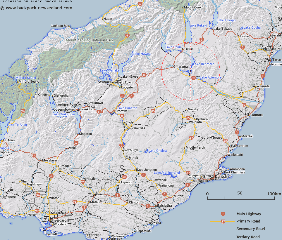
Map showing location of Black Jacks Island


LINZ description: Island west of Sugar Loaf, created by the raising of Lake Benmore
Latitude: -44.534891
Longitude: 170.199528
Northing: 5064900
Easting: 1377500
Land District: Otago
Feat Type: Island


Scroll down to see a more detailed road map and below that a topographical map showing the location of Black Jacks Island. The road map has been supplied by openstreetmap and the topographical map of Black Jacks Island has been supplied by Land Information New Zealand (LINZ).

Yes you can use the top static map for you school/university project or personal website with a link back. Contact me for any commercial use.

Black Jacks Island Map New Zealand


New Zealand places in our database
[ A ] [ B ] [ C ] [ D ] [ E ] [ F ] [ G ] [ H ] [ I ] [ J ] [ K ] [ L ] [ M ] [ N ] [ O ] [ P ] [ Q ] [ R ] [ S ] [ T ] [ U ] [ V ] [ W ] [ X ] [ Y ] [ Z ]


Closest 20 Islands to Black Jacks Island

Junction Island ( 1.98km )   Turnagain Island ( 3.08km )   Goose Neck Island ( 5.76km )   Whanau Island ( 8.72km )   Morgans Island ( 48.25km )   Silver Island ( 67.97km )   Motuariki Island ( 71.15km )   Jocks Island ( 73.6km )   Stevensons Island ( 84.55km )   Bull Island ( 85.52km )   Ruby Island ( 88.3km )   Harwich Island ( 88.57km )   Mou Waho ( 88.57km )   Pigeon Island ( 88.57km )   Mou Tapu ( 90.52km )   Crescent Island ( 90.52km )   The Island ( 95.54km )   Maukiekie Island ( 105.89km )   Rangitata Island ( 110.21km )   Hearntown Island ( 110.21km )   Gull Island ( 115.15km )   Otitia Rock ( 117.85km )   Hanata Island ( 118.01km )   Bignell Reef ( 128.46km )   Taumaka Island ( 128.98km )   Open Bay Islands ( 129.23km )   Popotai Island ( 129.36km )   Te Waipounamu ( 131.33km )   South Island ( 131.33km )   Teviot Island ( 131.43km )   Hidden Island ( 136.01km )   Mayds Island ( 144.52km )   Mayo Island ( 144.52km )   Stafford Rocks ( 145.6km )   Hogget Island ( 145.79km )   Seal Rocks ( 146.37km )   Mervyn Island ( 146.69km )   Goat Island/Rakiriri ( 147.25km )   Goat Island ( 147.25km )   Quarantine Island ( 147.77km )