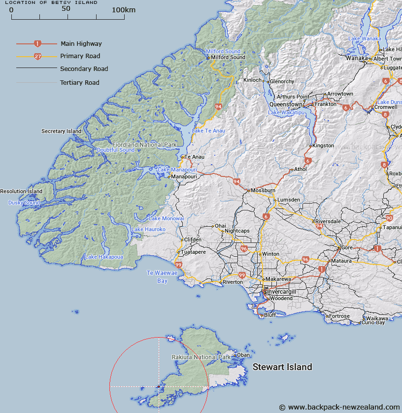
Map showing location of Betsy Island


LINZ description: Island within the Boat Group of the Titi/Muttonbird Islands, south-west of Stewart Island/Rakiura. Currently shown as Betsy Island on mapping. Also known as Temaka Island
Latitude: -47.129977
Longitude: 167.537765
Northing: 4765900
Easting: 1185785.2
Land District: Southland
Feat Type: Island


Scroll down to see a more detailed road map and below that a topographical map showing the location of Betsy Island. The road map has been supplied by openstreetmap and the topographical map of Betsy Island has been supplied by Land Information New Zealand (LINZ).

Yes you can use the top static map for you school/university project or personal website with a link back. Contact me for any commercial use.

Betsy Island Map New Zealand


New Zealand places in our database
[ A ] [ B ] [ C ] [ D ] [ E ] [ F ] [ G ] [ H ] [ I ] [ J ] [ K ] [ L ] [ M ] [ N ] [ O ] [ P ] [ Q ] [ R ] [ S ] [ T ] [ U ] [ V ] [ W ] [ X ] [ Y ] [ Z ]


Closest 20 Islands to Betsy Island

Boat Group ( 0.47km )   Big Island ( 1.33km )   Stage Island ( 1.33km )   First Island ( 1.64km )   Kanu Island ( 1.64km )   Kundy Island ( 1.64km )   Chimneys Island ( 1.9km )   Timore Island (Chimneys) ( 1.9km )   Timore ( 1.9km )   Rat Island ( 2.31km )   Cow and Bull Islands ( 3.63km )   Bull and Cow Islands ( 3.63km )   Muttonbird (Titi) Islands ( 4.58km )   Titi/Muttonbird Islands ( 4.58km )   The Sisters ( 4.66km )   Goose Island ( 5.21km )   Kuihi Island ( 5.21km )   Mokoiti Island ( 9.32km )   Mokiti Island ( 9.32km )   Mokiiti/Little Moggy Island ( 9.32km )   Little Moggy Island ( 9.32km )   Mokiti Island (Little Moggy) ( 9.32km )   Big Moggy Island ( 10.32km )   Mokinui Island ( 10.32km )   Mokonui Island (Big Moggy) ( 10.32km )   Moggy Island ( 10.32km )   Mokinui/Big Moggy Island ( 10.32km )   Mokonui Island ( 10.32km )   Krackarow Island ( 10.32km )   Kaimohu Island ( 10.35km )   Proclamation Islets ( 10.51km )   Dryad Island ( 11.35km )   Pukuparara ( 11.41km )   Hebe Island ( 12.3km )   Rerewhakaupoko Island (Solomon) ( 12.75km )   Solomon Island ( 12.75km )   Rosa Island ( 12.82km )   Pukuweka Island ( 12.97km )   Pukeweka Island ( 12.97km )   Anchorage Island ( 13km )