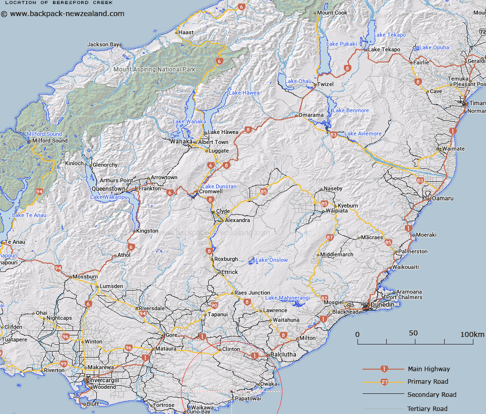
Map showing location of Beresford Creek


LINZ description: Tributary of Maclennan River rising under Beresford Range.
Latitude: -46.504914
Longitude: 169.463122
Northing: 4843771
Easting: 1328642
Land District: Otago
Feat Type: Stream


Scroll down to see a more detailed road map and below that a topographical map showing the location of Beresford Creek. The road map has been supplied by openstreetmap and the topographical map of Beresford Creek has been supplied by Land Information New Zealand (LINZ).

Yes you can use the top static map for you school/university project or personal website with a link back. Contact me for any commercial use.

Beresford Creek Map New Zealand


New Zealand places in our database
[ A ] [ B ] [ C ] [ D ] [ E ] [ F ] [ G ] [ H ] [ I ] [ J ] [ K ] [ L ] [ M ] [ N ] [ O ] [ P ] [ Q ] [ R ] [ S ] [ T ] [ U ] [ V ] [ W ] [ X ] [ Y ] [ Z ]


Closest 20 Streams to Beresford Creek

Matai Stream ( 0.73km )   Mouats Saddle Creek ( 2.81km )   Aurora Creek ( 3.12km )   Maclennan River ( 3.53km )   Surveyors Creek ( 4.98km )   Sharks Creek ( 5.18km )   Waikoata Stream ( 5.19km )   Purakaunui Stream ( 5.34km )   Papatupu Stream ( 5.34km )   Blunder Stream ( 5.85km )   Purakauiti Stream ( 6.17km )   Coeus Stream ( 6.52km )   Rough Creek ( 6.62km )   Florence Creek ( 6.73km )   Shaw Stream ( 6.97km )   Pillans Stream ( 7.23km )   Saddle Creek ( 7.57km )   Frank Stream ( 7.78km )   Isas Creek ( 7.91km )   McLaren Creek ( 7.92km )   McCormack Creek ( 8.17km )   Purakaunui River ( 8.39km )   Wallis Stream ( 8.49km )   Cooper Stream ( 8.51km )   Fleming River ( 8.99km )   Waitangi Stream ( 9.01km )   Back Creek ( 9.35km )   Rocky Creek ( 9.71km )   Craggy Tor Stream ( 9.88km )   Waitere Stream ( 10.04km )   Waiheke Stream ( 10.25km )   Diggers Creek ( 10.55km )   Kaka Stream ( 10.65km )   Tautuku River ( 11.03km )   Luna Creek ( 11.2km )   Mackenzie Stream ( 11.3km )   Thisbe Stream ( 11.35km )   Garry Stream ( 11.46km )   Chloris Stream ( 12.07km )   Wairere Stream ( 12.33km )