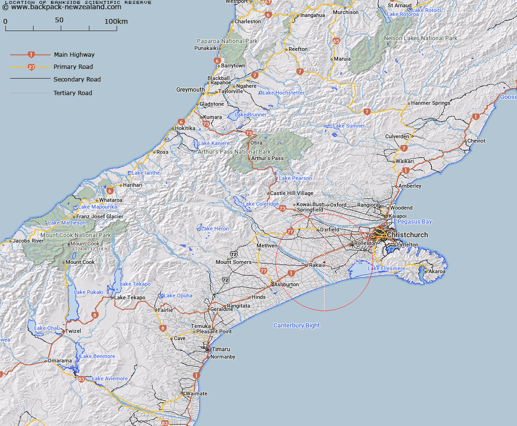
Map showing location of Bankside Scientific Reserve


LINZ description: East of SH1, between the Rakaia and Selwyn Rivers/Waikirikiri, mid Canterbury
Latitude: -43.730278
Longitude: 172.16
Northing: 5157741.1
Easting: 1532349.3
Land District: Canterbury
Feat Type: Scientific Reserve


Scroll down to see a more detailed road map and below that a topographical map showing the location of Bankside Scientific Reserve. The road map has been supplied by openstreetmap and the topographical map of Bankside Scientific Reserve has been supplied by Land Information New Zealand (LINZ).

Yes you can use the top static map for you school/university project or personal website with a link back. Contact me for any commercial use.

Bankside Scientific Reserve Map New Zealand


New Zealand places in our database
[ A ] [ B ] [ C ] [ D ] [ E ] [ F ] [ G ] [ H ] [ I ] [ J ] [ K ] [ L ] [ M ] [ N ] [ O ] [ P ] [ Q ] [ R ] [ S ] [ T ] [ U ] [ V ] [ W ] [ X ] [ Y ] [ Z ]


Closest 20 Scientific Reserves to Bankside Scientific Reserve

Waihora Scientific Reserve ( 31.31km )   Kaitorete Spit Scientific Reserve ( 35.44km )   Eyrewell Scientific Reserve ( 38.71km )   Enys Scientific Reserve ( 67.32km )   Medbury Scientific Reserve ( 105.62km )   Culverden Scientific Reserve ( 121.41km )   Lake Tekapo Scientific Reserve ( 138.81km )   Ianthe Scientific Reserve ( 148.4km )   Pukaki Scientific Reserve ( 169.15km )   Bendhu Scientific Reserve ( 197.74km )   Blue Duck Scientific Reserve ( 212.46km )   White Creek Fault Scientific Reserve ( 218.02km )   Shag Point Scientific Reserve ( 220.71km )   Shag Point/Matakaea Scientific Reserve ( 220.71km )   Lagoon Creek Scientific Reserve ( 248.62km )   Mata-au Scientific Reserve ( 252.97km )   Locharburn Scientific Reserve ( 262.11km )   Every's Scientific Reserve ( 265.64km )   Mahaka Katia Scientific Reserve ( 265.64km )   Chancet Rocks Scientific Reserve ( 268.36km )   Waiora Scientific Reserve ( 271.35km )   Chapman Road Scientific Reserve ( 281.22km )   Muritai Scientific Reserve ( 283.46km )   Black Rock Scientific Reserve ( 289.12km )   Kokorua Open Scientific Reserve ( 313.15km )   Tom Shand Scientific Reserve ( 332.61km )   Sinclair Head Scientific Reserve ( 336.4km )   Red Rocks Scientific Reserve ( 337.33km )   Turakirae Head Scientific Reserve ( 341.81km )   Otanomomo Scientific Reserve ( 343.19km )   Lake Kohangatera and Lake Kohangapiripiri Scientific Reserve ( 343.71km )   Lake Kohangapiripiri Wildlife Reserve ( 343.71km )   Makaro Scientific Reserve ( 350.38km )   Matiu Scientific Reserve ( 353.2km )   Mokopuna Scientific Reserve ( 353.74km )   Pukerau Red Tussock Scientific Reserve ( 357.96km )   Mana Island Scientific Reserve ( 364.16km )   Taita Scientific Reserve ( 365.16km )   Pukerua Bay Scientific Reserve ( 374.03km )   Tahakopa Peat Dome Scientific Reserve ( 378.03km )