Map showing location of Avon River/Ōtakaro


LINZ description: Feature shown on: NZMS260-M35 880420; NZTopo50-BX24 780803;
Latitude: -43.529918
Longitude: 172.727738
Northing: 5180300
Easting: 1578000
Land District: Canterbury
Feat Type: Stream


Scroll down to see a more detailed road map and below that a topographical map showing the location of Avon River/Ōtakaro. The road map has been supplied by openstreetmap and the topographical map of Avon River/Ōtakaro has been supplied by Land Information New Zealand (LINZ).

Yes you can use the top static map for you school/university project or personal website with a link back. Contact me for any commercial use.
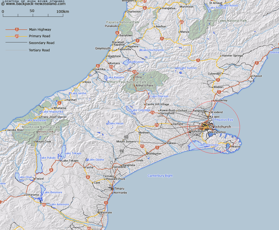
Avon River/Ōtakaro Map New Zealand


New Zealand places in our database
[ A ] [ B ] [ C ] [ D ] [ E ] [ F ] [ G ] [ H ] [ I ] [ J ] [ K ] [ L ] [ M ] [ N ] [ O ] [ P ] [ Q ] [ R ] [ S ] [ T ] [ U ] [ V ] [ W ] [ X ] [ Y ] [ Z ]


Closest 20 Streams to Avon River/Ōtakaro

Estuary of the Heathcote and Avon Rivers/Ihutai ( 1.99km )   Estuary of the Heathcote and Avon Rivers ( 1.99km )   Woolston Loop ( 4.79km )   Shirley Stream ( 6.42km )   Dudley Creek ( 7km )   Kaputone Creek ( 10.6km )   Wai-iti Stream ( 11.21km )   Wairarapa Stream ( 11.87km )   Waimairi Stream ( 12.08km )   Cashmere Stream ( 12.1km )   Okeover Stream ( 12.21km )   Ilam Stream ( 12.42km )   Otukaikino Creek ( 13.24km )   Styx River ( 13.39km )   Heathcote River ( 13.79km )   Nottingham Stream ( 14.43km )   Te Wharau Stream ( 14.55km )   Purau Stream ( 14.85km )   Kairaki Creek ( 16.01km )   Courtenay Stream ( 16.08km )   Kaikainui Stream ( 16.26km )   Kaiapoi River ( 16.35km )   North Branch Waimakariri River ( 16.35km )   Knights Stream ( 16.44km )   Dawson Creek ( 17.05km )   Maori Gully ( 17.23km )   Koukourarata Stream ( 17.23km )   Waiake Stream ( 17.25km )   Te Kawa Stream ( 17.58km )   Owhetoro Stream ( 18.17km )   Eyre Main Drain ( 18.42km )   Ohoka Stream ( 19.88km )   Holmes Stream ( 20.98km )   Old Bed Eyre River ( 21.58km )   Eyre River Diversion ( 22.02km )   Kaituna River ( 22.7km )   Pigeon Bay Stream ( 22.85km )   Menzies Stream ( 22.92km )   L I Creek ( 23.01km )   Totara Stream ( 23.03km )