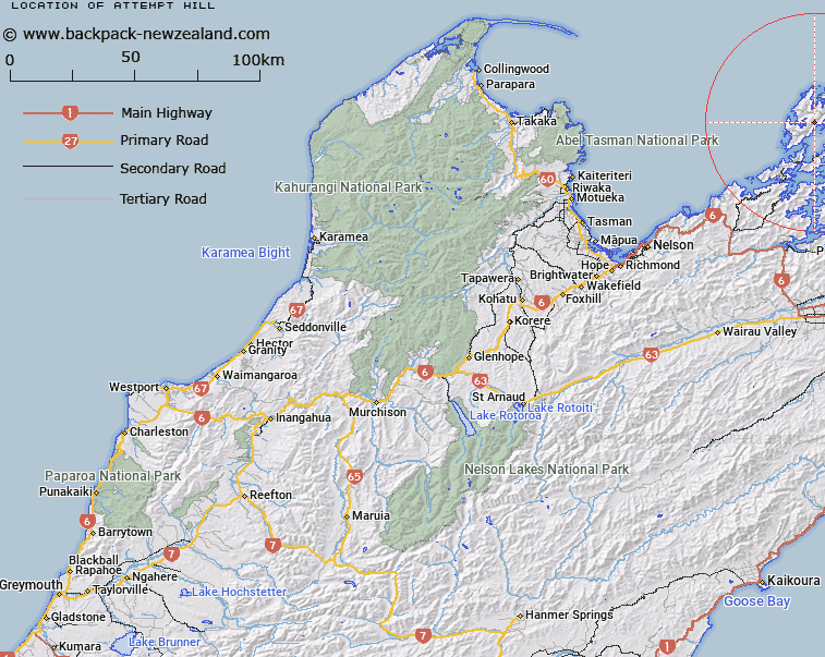
Map showing location of Attempt Hill
LINZ description: A hill at 729 m on Rangitoto ki te Tonga / D’Urville Island approximately 8 km north-northeast of Te Aumiti / French Pass. Feature shown on: NZMS260 O26 P25 Pt P26 Edition 1 1980; NZTopo50-BP28 731771
Latitude: -40.854
Longitude: 173.867389
Northing: 5477088.1
Easting: 1673109.9
Land District: Nelson
Feat Type: Hill
Latitude: -40.854
Longitude: 173.867389
Northing: 5477088.1
Easting: 1673109.9
Land District: Nelson
Feat Type: Hill

Scroll down to see a more detailed road map and below that a topographical map showing the location of Attempt Hill. The road map has been supplied by openstreetmap and the topographical map of Attempt Hill has been supplied by Land Information New Zealand (LINZ).
Yes you can use the top static map for you school/university project or personal website with a link back. Contact me for any commercial use.
[ A ] [ B ] [ C ] [ D ] [ E ] [ F ] [ G ] [ H ] [ I ] [ J ] [ K ] [ L ] [ M ] [ N ] [ O ] [ P ] [ Q ] [ R ] [ S ] [ T ] [ U ] [ V ] [ W ] [ X ] [ Y ] [ Z ]