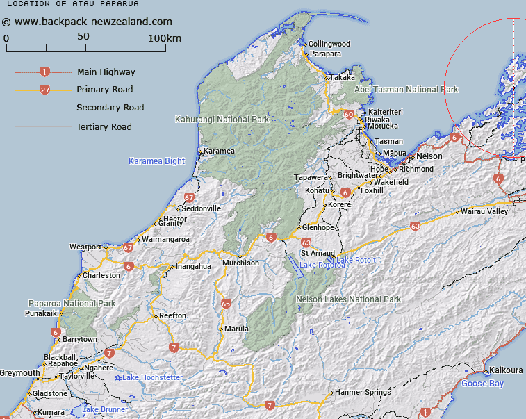
Map showing location of Atau Paparua


LINZ description: For name of locality in Kapowai Bay
Latitude: -40.903448
Longitude: 173.837557
Northing: 5471623.4
Easting: 1670542.9
Land District: Nelson
Feat Type: Locality


Scroll down to see a more detailed road map and below that a topographical map showing the location of Atau Paparua. The road map has been supplied by openstreetmap and the topographical map of Atau Paparua has been supplied by Land Information New Zealand (LINZ).

Yes you can use the top static map for you school/university project or personal website with a link back. Contact me for any commercial use.

Atau Paparua Map New Zealand


New Zealand places in our database
[ A ] [ B ] [ C ] [ D ] [ E ] [ F ] [ G ] [ H ] [ I ] [ J ] [ K ] [ L ] [ M ] [ N ] [ O ] [ P ] [ Q ] [ R ] [ S ] [ T ] [ U ] [ V ] [ W ] [ X ] [ Y ] [ Z ]


Closest 20 Localitys to Atau Paparua

Mitikarukaru ( 1.06km )   French Pass (Anaru) ( 2.61km )   Ruruku ( 3.55km )   Haukawakawa (Madsen) ( 4.79km )   Madsen ( 4.79km )   Owhata ( 5.73km )   Ohana ( 6.07km )   Kiangawari ( 6.87km )   Bulwer ( 10.33km )   Whareata ( 12.28km )   Whareatea ( 12.28km )   Mukahanga ( 16.65km )   Elaine Bay ( 17.71km )   Whakatari ( 21.35km )   Patuki ( 21.35km )   ?kiwi Bay ( 27.56km )   Manaroa ( 28.45km )   Crail Bay ( 29.44km )   Nopera ( 32.2km )   Waitaria Bay ( 33.54km )   Endeavour Inlet ( 35.04km )   Te Mahia ( 36.48km )   Portage ( 36.8km )   Kenepuru Head ( 38.05km )   Carluke ( 40.2km )   Anakiwa ( 40.6km )   Moenui ( 41.76km )   Rai Valley ( 41.94km )   Havelock ( 42.07km )   The Grove ( 42.13km )   Linkwater ( 43km )   Waikawa ( 44.26km )   Curious Cove ( 44.8km )   Canvastown ( 45.57km )   Elevation ( 46.57km )   Mount Pleasant ( 48.42km )   Pelorus Bridge ( 49.2km )   Koromiko ( 49.81km )   Hira ( 50.52km )   Glenduan ( 50.68km )