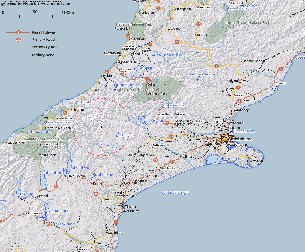
Map showing location of Ashburton Peak
LINZ description: Peak at the head of the South Branch Ashburton River, in the Arrowsmith Range, 2km South-west of Mount Arrowsmith. South Latitude 43.2225, East Longtitude 170.5750. Ramsay Survey District.
Latitude: -43.37057
Longitude: 170.961165
Northing: 5196014.1
Easting: 1434818.1
Land District: Canterbury
Feat Type: Hill
Latitude: -43.37057
Longitude: 170.961165
Northing: 5196014.1
Easting: 1434818.1
Land District: Canterbury
Feat Type: Hill

Scroll down to see a more detailed road map and below that a topographical map showing the location of Ashburton Peak. The road map has been supplied by openstreetmap and the topographical map of Ashburton Peak has been supplied by Land Information New Zealand (LINZ).
Yes you can use the top static map for you school/university project or personal website with a link back. Contact me for any commercial use.
[ A ] [ B ] [ C ] [ D ] [ E ] [ F ] [ G ] [ H ] [ I ] [ J ] [ K ] [ L ] [ M ] [ N ] [ O ] [ P ] [ Q ] [ R ] [ S ] [ T ] [ U ] [ V ] [ W ] [ X ] [ Y ] [ Z ]