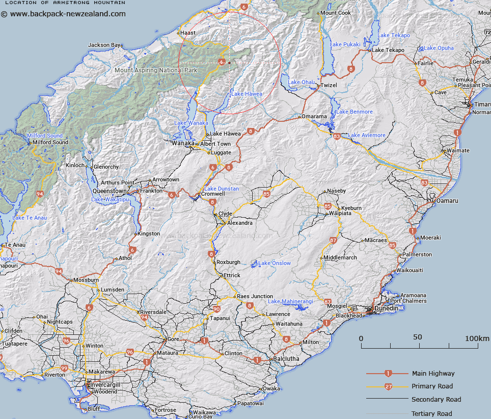
Map showing location of Armstrong Mountain
LINZ description: Peak between Mounts Kaye and Brewster above the David Glacier which feeds the Makarora River in the Southern Alps/Kā Tiritiri o te Moana.
Latitude: -44.094139
Longitude: 169.42884
Northing: 5111468.1
Easting: 1314132.4
Land District: Otago, Westland
Feat Type: Hill
Latitude: -44.094139
Longitude: 169.42884
Northing: 5111468.1
Easting: 1314132.4
Land District: Otago, Westland
Feat Type: Hill

Scroll down to see a more detailed road map and below that a topographical map showing the location of Armstrong Mountain. The road map has been supplied by openstreetmap and the topographical map of Armstrong Mountain has been supplied by Land Information New Zealand (LINZ).
Yes you can use the top static map for you school/university project or personal website with a link back. Contact me for any commercial use.
[ A ] [ B ] [ C ] [ D ] [ E ] [ F ] [ G ] [ H ] [ I ] [ J ] [ K ] [ L ] [ M ] [ N ] [ O ] [ P ] [ Q ] [ R ] [ S ] [ T ] [ U ] [ V ] [ W ] [ X ] [ Y ] [ Z ]