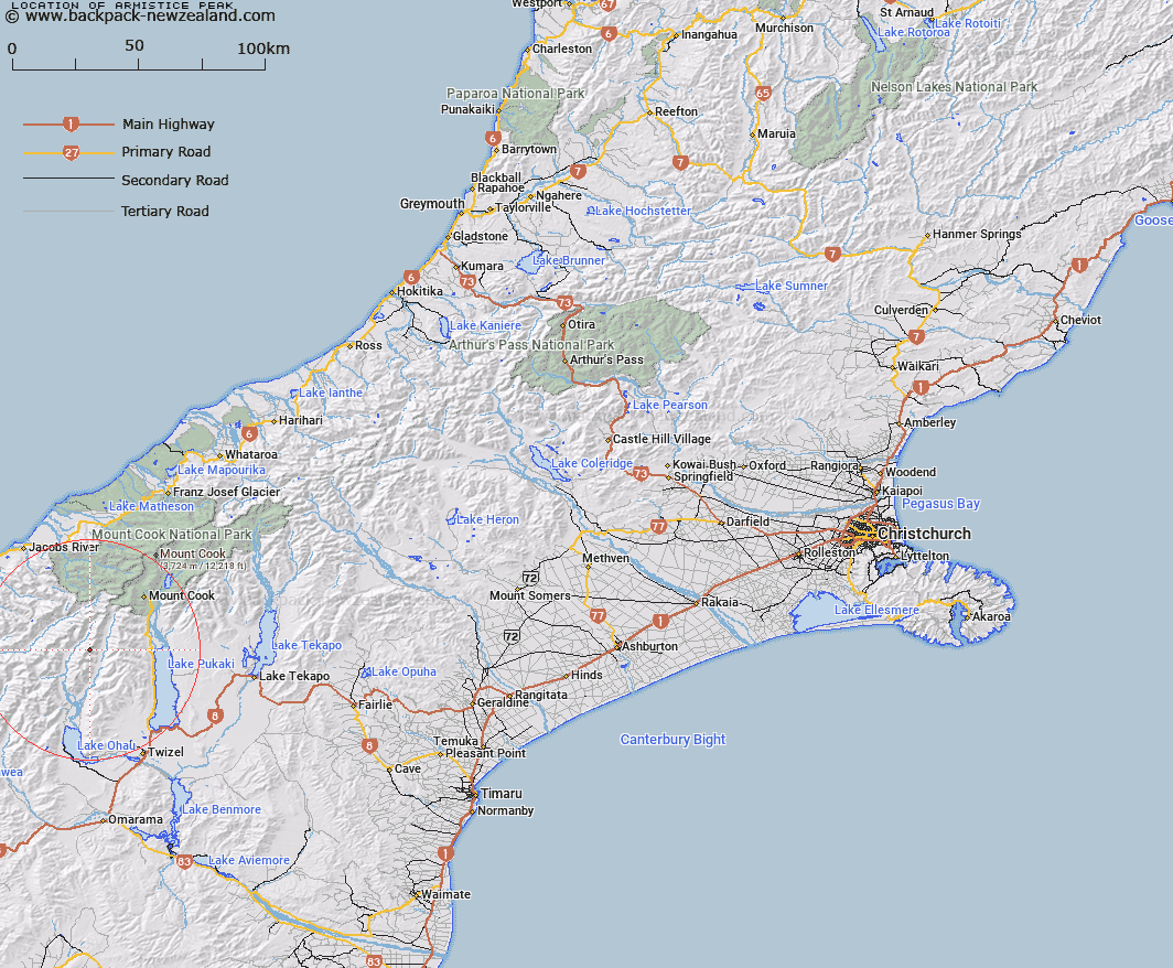
Map showing location of Armistice Peak


LINZ description: Peak in Neumann Range about 3 km north east of Mt Glenisla. Feature shown on: NZTopo50-BY15 521333
Latitude: -43.911637
Longitude: 169.912582
Northing: 5133306.7
Easting: 1352097.2
Land District: Canterbury
Feat Type: Hill


Scroll down to see a more detailed road map and below that a topographical map showing the location of Armistice Peak. The road map has been supplied by openstreetmap and the topographical map of Armistice Peak has been supplied by Land Information New Zealand (LINZ).

Yes you can use the top static map for you school/university project or personal website with a link back. Contact me for any commercial use.

Armistice Peak Map New Zealand


New Zealand places in our database
[ A ] [ B ] [ C ] [ D ] [ E ] [ F ] [ G ] [ H ] [ I ] [ J ] [ K ] [ L ] [ M ] [ N ] [ O ] [ P ] [ Q ] [ R ] [ S ] [ T ] [ U ] [ V ] [ W ] [ X ] [ Y ] [ Z ]


Closest 20 Hills to Armistice Peak

Mount Glenisla ( 3.61km )   Mount Reticence ( 4.35km )   Mount Glencairn ( 5.96km )   Dasler Pinnacles ( 6.13km )   Mount Glenmary ( 7.71km )   Ben Ross ( 8.01km )   Mount Ward ( 8.05km )   Mount Dundas ( 8.28km )   Mount Williams ( 8.63km )   Mount Clark ( 8.77km )   Mount Clarke ( 8.77km )   Glentanner Peak ( 8.83km )   Mount Marchant ( 9km )   Baker Peak ( 9.05km )   Mount Browning ( 9.19km )   Ferintosh Peak ( 9.25km )   Hut Peak ( 9.36km )   Dun Fiunary ( 9.46km )   Mount Baker ( 9.52km )   Mount Nihokohatu ( 9.52km )   Mauka Atua ( 9.67km )   Mount Hickson ( 9.71km )   Gillies Peak ( 9.75km )   Kai Tarau ( 9.8km )   Mount Jackson ( 9.8km )   Mount Percy Smith ( 9.95km )   Mount Humphries ( 11km )   Mount Dark ( 11.12km )   McNulty Peak ( 11.17km )   Taiaha Peak ( 11.24km )   Barron Peak ( 11.44km )   Welch Peak ( 11.87km )   Mount Kitson ( 11.98km )   Prudence Peak ( 12.31km )   Mount Sinclair ( 12.36km )   Mount Dobson ( 12.5km )   Mount Fraser ( 12.62km )   Mount Arthur ( 12.74km )   Mount Brown ( 13.14km )   Kaimakamaka Peaks ( 13.26km )