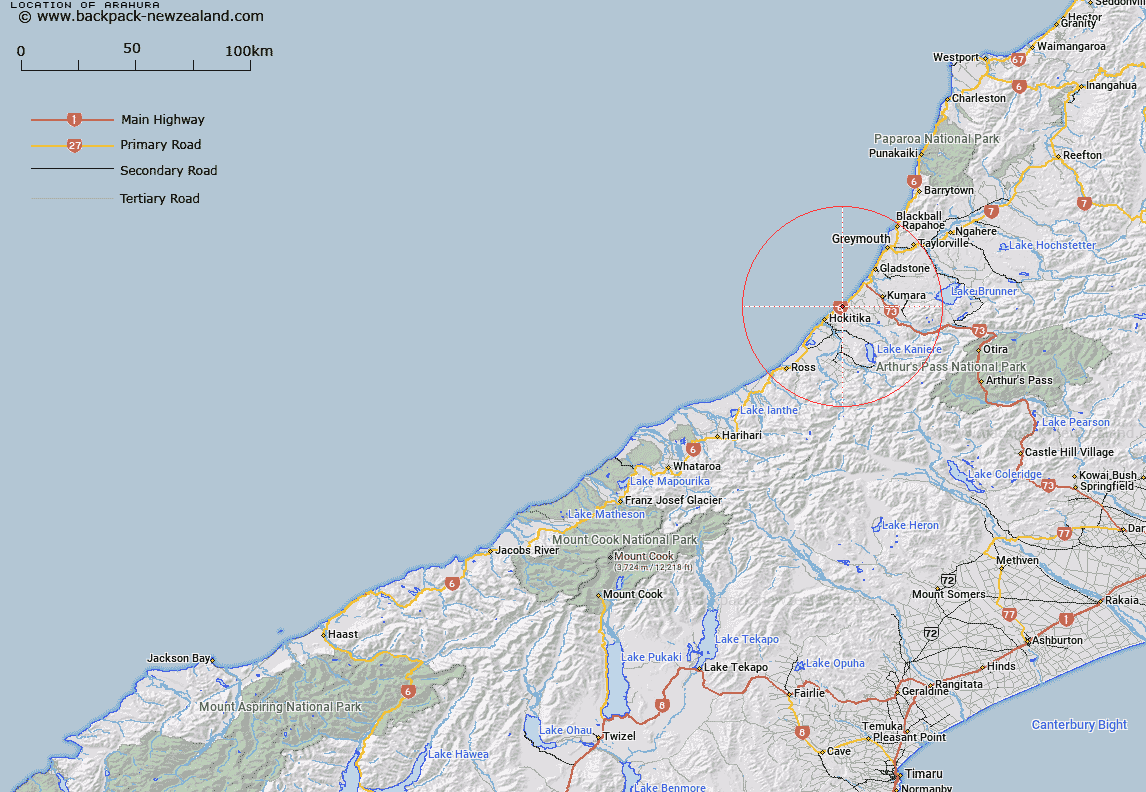
Map showing location of Arahura
LINZ description: Located on the West Coast of Te Waipounamu, approximately 7.5km northeast of Hokitika. NZTopo50-BU18 387740
Latitude: -42.669614
Longitude: 171.031765
Northing: 5273995
Easting: 1438713
Land District: Westland
Feat Type: Locality
Latitude: -42.669614
Longitude: 171.031765
Northing: 5273995
Easting: 1438713
Land District: Westland
Feat Type: Locality

Scroll down to see a more detailed road map and below that a topographical map showing the location of Arahura. The road map has been supplied by openstreetmap and the topographical map of Arahura has been supplied by Land Information New Zealand (LINZ).
Yes you can use the top static map for you school/university project or personal website with a link back. Contact me for any commercial use.
[ A ] [ B ] [ C ] [ D ] [ E ] [ F ] [ G ] [ H ] [ I ] [ J ] [ K ] [ L ] [ M ] [ N ] [ O ] [ P ] [ Q ] [ R ] [ S ] [ T ] [ U ] [ V ] [ W ] [ X ] [ Y ] [ Z ]