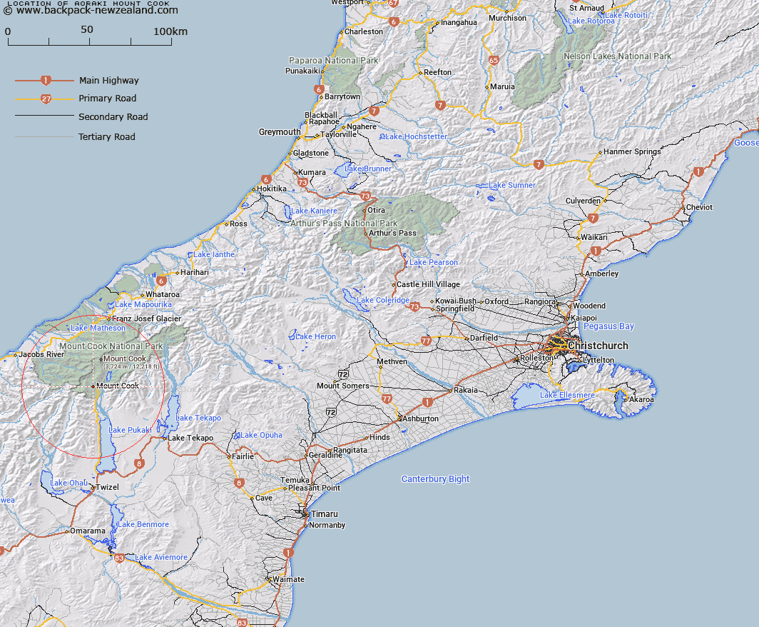
Map showing location of Aoraki/Mount Cook


LINZ description: Feature shown on: NZMS260-H36 764154; NZTopo50-BY15 663534;
Latitude: -43.735107
Longitude: 170.098209
Northing: 5153454.8
Easting: 1366314.3
Land District: Canterbury
Feat Type: Town


Scroll down to see a more detailed road map and below that a topographical map showing the location of Aoraki/Mount Cook. The road map has been supplied by openstreetmap and the topographical map of Aoraki/Mount Cook has been supplied by Land Information New Zealand (LINZ).

Yes you can use the top static map for you school/university project or personal website with a link back. Contact me for any commercial use.
Aoraki/Mount Cook Map New Zealand


New Zealand places in our database
[ A ] [ B ] [ C ] [ D ] [ E ] [ F ] [ G ] [ H ] [ I ] [ J ] [ K ] [ L ] [ M ] [ N ] [ O ] [ P ] [ Q ] [ R ] [ S ] [ T ] [ U ] [ V ] [ W ] [ X ] [ Y ] [ Z ]


Closest 20 Towns to Aoraki/Mount Cook

Hooker Corner ( 2.41km )   The Cove ( 10.43km )   Roberts Point ( 32.9km )   Sibbalds Island ( 33.89km )   The Island ( 36.69km )   Tekapo Military Camp ( 38km )   The Bend ( 39.42km )   Golden Point ( 42.22km )   The Forks ( 50.54km )   Wataroa ( 56.7km )   Whataroa ( 56.7km )   Twizel ( 58.12km )   Freezing Point ( 58.76km )   Lake Ohau Alpine Village ( 62.93km )   Wataroa ( 70.56km )   Slip Panels Corner ( 74.26km )   The Attic ( 83.79km )   The Buttress ( 85.06km )   Haast ( 86.47km )   The Landing ( 87.34km )   Haast Beach ( 89.56km )   Sailors Cutting ( 89.9km )   Borrell Creek Cutting ( 90.35km )   The Gateway ( 94.13km )   Otematata ( 96.94km )   Stratheona Huts ( 100.73km )   Kerin Forks ( 102.1km )   Butlers Crossing ( 102.82km )   Nisson Farm ( 107.31km )   Rabbit Island ( 107.95km )   South Township ( 108.57km )   Rangitata ( 108.57km )   Hydra Island ( 113.64km )   Timaru ( 118.26km )   Portage Landing ( 122.03km )   Tinwald ( 131.77km )   The Redoubt ( 131.92km )   Wanaka ( 132.25km )   Pembroke ( 132.25km )   Hokitika ( 133.15km )